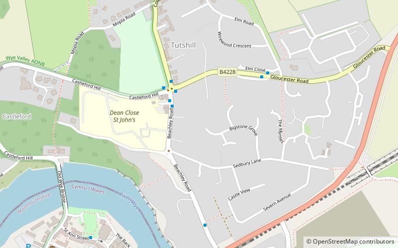
Gloucestershire Way, Chepstow
Map

Map

Facts and practical information
The Gloucestershire Way is a long-distance footpath, in the English county of Gloucestershire. It was devised by Gerry and Kate Stewart, of the Ramblers Association and Tewkesbury Walking Club. The 100-mile route, which uses existing Rights of Way, goes from Tutshill, just north of Chepstow, crosses the river Severn at Gloucester, proceeding then to Tewkesbury, with a 'Worcestershire Way Link'. ()
Length: 100 miCoordinates: 51°38'53"N, 2°39'58"W
Address
Chepstow
ContactAdd
Social media
Add
Day trips
Gloucestershire Way – popular in the area (distance from the attraction)
Nearby attractions include: Offa's Dyke Path, Chepstow Castle, Chepstow Racecourse, Gloucester Hole.
Frequently Asked Questions (FAQ)
Which popular attractions are close to Gloucestershire Way?
Nearby attractions include Old Wye Bridge, Chepstow (7 min walk), Chepstow Railway Bridge, Chepstow (8 min walk), Gloucester Hole, Chepstow (8 min walk), Chepstow Museum, Chepstow (10 min walk).
How to get to Gloucestershire Way by public transport?
The nearest stations to Gloucestershire Way:
Train
Bus
Train
- Chepstow (16 min walk)
Bus
- Chepstow (19 min walk)


