Greenock West, Greenock

Map
Facts and practical information
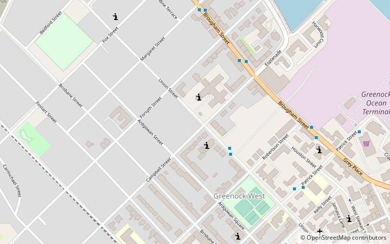
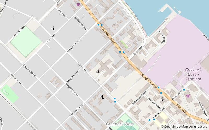
Greenock West, also known simply as the West End, is an area of Greenock, Inverclyde, Scotland. The streets are in a grid like layout referred to as blocks as opposed to the irregular street patterns elsewhere in the town. ()
Coordinates: 55°57'14"N, 4°46'15"W
Address
Greenock
ContactAdd
Social media
Add
Day trips
Greenock West – popular in the area (distance from the attraction)
Nearby attractions include: Old West Kirk, McLean Museum, Beacon Youth, Lyle Hill.
Frequently Asked Questions (FAQ)
Which popular attractions are close to Greenock West?
Nearby attractions include St John the Evangelist's Church, Greenock (2 min walk), Old West Kirk, Greenock (6 min walk), McLean Museum, Greenock (7 min walk), Watt Library, Greenock (8 min walk).
How to get to Greenock West by public transport?
The nearest stations to Greenock West:
Bus
Train
Bus
- Greenock Bus Station (12 min walk)
Train
- Greenock West (13 min walk)
- Drumfrochar (23 min walk)


