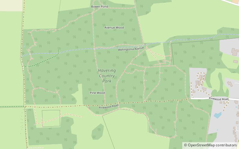
Havering Country Park, London
Map

Map

Facts and practical information
Havering Country Park is a varied environment open space in the London Borough of Havering. It includes 100 acres of woodland. ()
Elevation: 279 ft a.s.l.Coordinates: 51°36'53"N, 0°10'18"E
Address
Pinewood RoadHavering (Havering Park)London RM5 3PH
ContactAdd
Social media
Add
Day trips
Havering Country Park – popular in the area (distance from the attraction)
Nearby attractions include: Romford Greyhound Stadium, The Mercury Mall, The Brewery, Church of St Edward the Confessor.
Frequently Asked Questions (FAQ)
How to get to Havering Country Park by public transport?
The nearest stations to Havering Country Park:
Bus
Bus
- Bower House • Lines: 375 (11 min walk)
- Kilnwood Lane • Lines: 375 (11 min walk)

 Tube
Tube


