Raphael Park, London
Map

Map

Facts and practical information
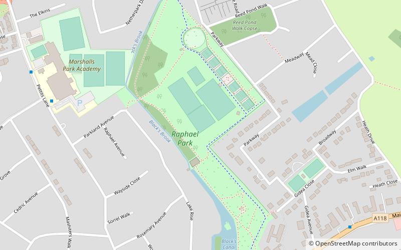
Raphael Park is a public park in Gidea Park, Romford, in the London Borough of Havering, United Kingdom. It is one of a series of parks stretching northwards from the railway line between Romford and Gidea Park. The park is commonly known as Raphael's Park by locals. ()
Elevation: 102 ft a.s.l.Coordinates: 51°35'20"N, 0°11'25"E
Address
Raphael Park, ParkwayHavering (Gidea Park)London
Contact
+44 1708 431982
Social media
Add
Day trips
Raphael Park – popular in the area (distance from the attraction)
Nearby attractions include: Romford Greyhound Stadium, The Mercury Mall, The Brewery, Church of St Edward the Confessor.
Frequently Asked Questions (FAQ)
Which popular attractions are close to Raphael Park?
Nearby attractions include Lodge Farm Park, Romford (14 min walk), Havering Town Hall, Romford (15 min walk), Gidea Park, Romford (16 min walk), Rise Park, Romford (16 min walk).
How to get to Raphael Park by public transport?
The nearest stations to Raphael Park:
Bus
Train
Bus
- Hail & Ride Rosemary Avenue • Lines: 499 (8 min walk)
- Repton Avenue • Lines: 174, 347, 498, 686, N86 (9 min walk)
Train
- Gidea Park (22 min walk)
- Romford (27 min walk)

 Tube
Tube


