Holywell Music Room, Oxford
Map
Gallery
Facts and practical information
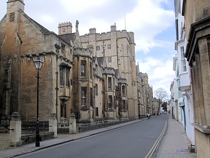
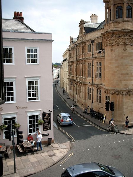
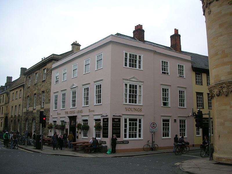
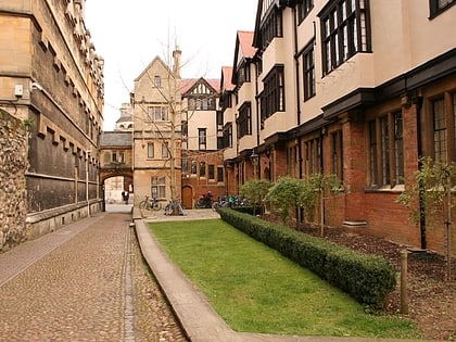
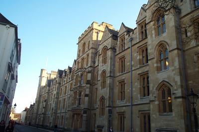
Holywell Street is a street in central Oxford, England. It runs east-west with Broad Street to the west and Longwall Street to the east. About halfway along, Mansfield Road adjoins to the north. ()
Coordinates: 51°45'18"N, 1°15'3"W
Day trips
Holywell Music Room – popular in the area (distance from the attraction)
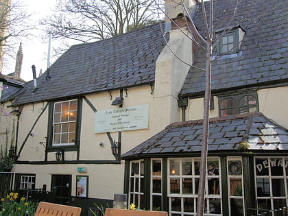
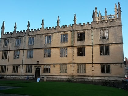
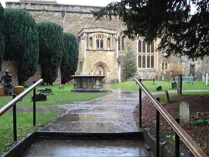
Nearby attractions include: High Street, Turf Tavern, Bodleian Library, St Peter-in-the-East.
Frequently Asked Questions (FAQ)
Which popular attractions are close to Holywell Music Room?
Nearby attractions include Holywell Street, Oxford (1 min walk), New College, Oxford (2 min walk), Jowett Walk, Oxford (2 min walk), Queen's Lane, Oxford (2 min walk).
How to get to Holywell Music Room by public transport?
The nearest stations to Holywell Music Room:
Bus
Train
Bus
- Queens Lane • Lines: 10, 15, 280, 3A, 5A, Lgw, Lhr, Tube, U1, X3, X90 (4 min walk)
- Turl Street • Lines: 280, 3A, U1 (7 min walk)
Train
- Oxford (22 min walk)
