Ind Coope Ground, Burton upon Trent
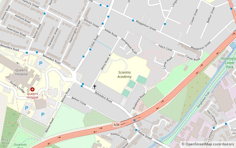
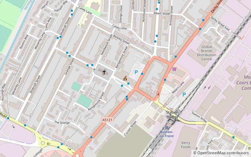
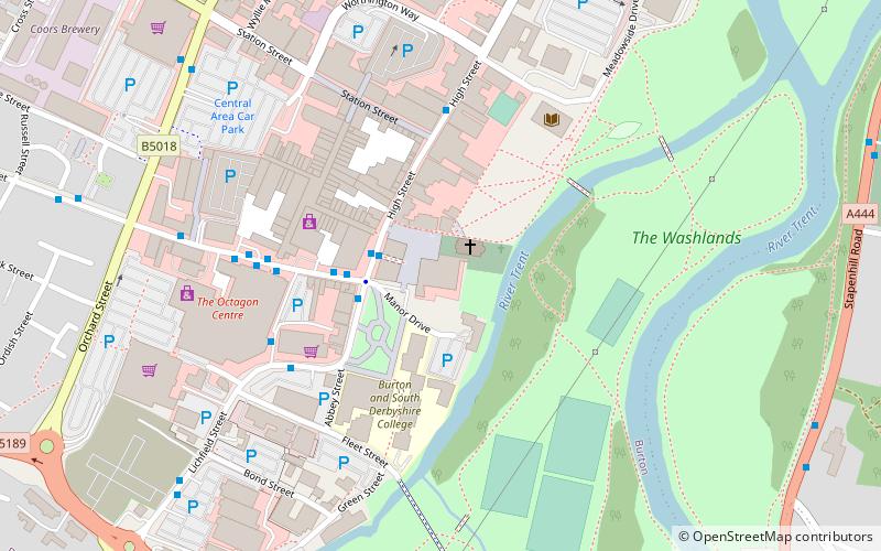
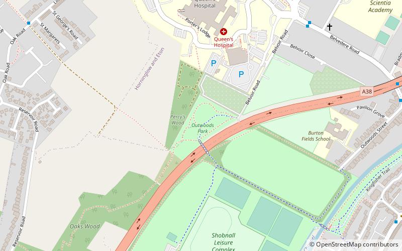
Map
Facts and practical information
The Ind Coope Ground was a cricket ground in Burton, England where Derbyshire CCC played between 1938 and 1980. In most years, the ground would host at least one County Championship match. Staffordshire CCC used the ground between 1987 and 1991 for NatWest Trophy and Minor Counties Championship matches. ()
Coordinates: 52°49'4"N, 1°38'56"W
Address
Burton upon Trent
ContactAdd
Social media
Add
Getting there by public transportation
Public transportation stops near this location
- Bus
- Train
 Bus
Bus
- Calculate routeMona Road 3 min walk
- Calculate routeOsborne Court 3 min walk
- Calculate routeBurton-on-Trent 22 min walk
Day trips


Frequently Asked Questions (FAQ)
Which popular attractions are close to Ind Coope Ground?
Nearby attractions include Outwoods, Burton upon Trent (10 min walk), St Chad's, Burton upon Trent (14 min walk), St Paul's, Burton upon Trent (17 min walk), East Staffordshire, Burton upon Trent (18 min walk).
How to get to Ind Coope Ground by public transport?
The nearest stations to Ind Coope Ground:
Bus
Train
Bus
- Mona Road • Lines: 401, 402, 403, 8, 9 (3 min walk)
- Osborne Court • Lines: 401, 402, 403, 9 (3 min walk)
Train
- Burton-on-Trent (22 min walk)