Shobnall, Burton upon Trent

Gallery (1)
Map
Map
Facts and practical information
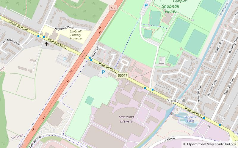
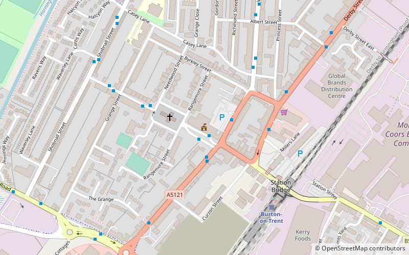
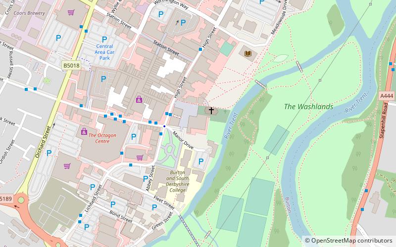
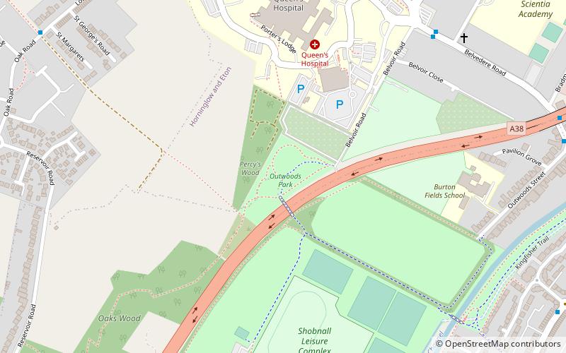
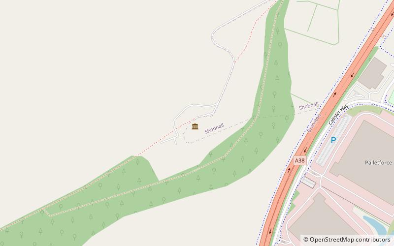
Shobnall is a settlement and civil parish located in Staffordshire, England. It covers an area located in the west of Burton upon Trent. The population of Shobnall taken at the 2011 census was 5,071. ()
Getting there by public transportation
Public transportation stops near this location
- Bus
- Train
 Bus
Bus
- Calculate routePrice Court 3 min walk
- Calculate routeCrossman Street 3 min walk
- Calculate routePrimary School 7 min walk
- Calculate routeBurton-on-Trent 19 min walk
Day trips


Frequently Asked Questions (FAQ)
Which popular attractions are close to Shobnall?
Nearby attractions include Outwoods, Burton upon Trent (12 min walk), St Paul's, Burton upon Trent (14 min walk), Sinai Park House, Burton upon Trent (15 min walk), East Staffordshire, Burton upon Trent (15 min walk).
How to get to Shobnall by public transport?
The nearest stations to Shobnall:
Bus
Train
Bus
- Price Court • Lines: 10, 402A (3 min walk)
- Crossman Street • Lines: 10, 402A (3 min walk)
Train
- Burton-on-Trent (19 min walk)