International Project Space, Birmingham

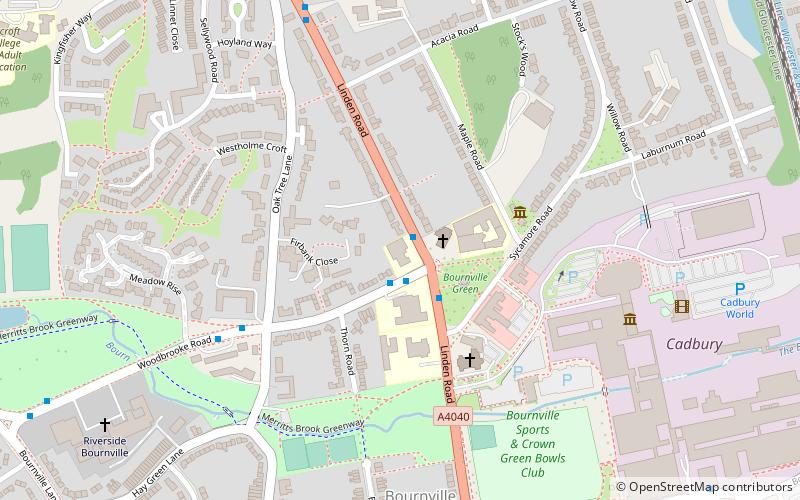
Map
Facts and practical information
The International Project Space was an art gallery located at the Bournville Centre for Visual Arts, which was a campus of Birmingham City University's Birmingham Institute of Art and Design in the Bournville district of Birmingham, England until 2013. The site is now home to the University's International College. ()
Coordinates: 52°25'49"N, 1°56'13"W
Address
BournvilleBirmingham
ContactAdd
Social media
Add
Day trips
International Project Space – popular in the area (distance from the attraction)
Nearby attractions include: Cadbury World, Lifford Reservoir, Selly Oak Park, Woodbrooke.
Frequently Asked Questions (FAQ)
Which popular attractions are close to International Project Space?
Nearby attractions include Bournville, Birmingham (2 min walk), Minworth Greaves, Birmingham (3 min walk), Selly Manor, Birmingham (3 min walk), St Francis of Assisi's Church, Birmingham (4 min walk).
How to get to International Project Space by public transport?
The nearest stations to International Project Space:
Train
Bus
Train
- Bournville (13 min walk)
- Selly Oak (21 min walk)
Bus
- Bristol Rd / Weoley Park Rd • Lines: 63 (13 min walk)
- Sk • Lines: 63 (16 min walk)


