Lifford Reservoir, Birmingham
Map

Map

Facts and practical information
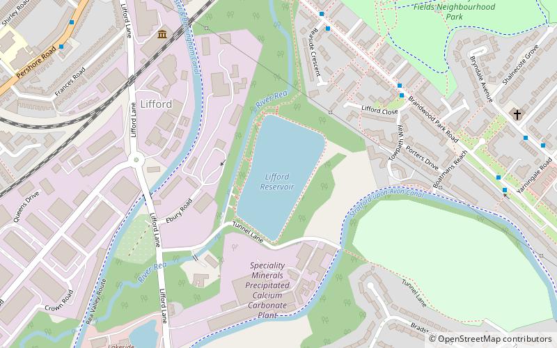
Lifford Reservoir in the Kings Norton district of Birmingham, England was built by the Worcester & Birmingham Canal company in 1815 to compensate Lifford Mill for water lost to the canal. It is located at the junction of the Stratford-upon-Avon Canal and the Worcester and Birmingham Canal and is on the River Rea Cycle Route. Angling is permitted subject to a charge outside the spring close season. Fish in the reservoir include tench, carp, pike, eels, perch, roach and bream. ()
Elevation: 446 ft a.s.l.Coordinates: 52°25'0"N, 1°54'58"W
Address
BrandwoodBirmingham
ContactAdd
Social media
Add
Day trips
Lifford Reservoir – popular in the area (distance from the attraction)
Nearby attractions include: Cadbury World, St Nicolas Church, Selly Manor, Kings Heath Park.
Frequently Asked Questions (FAQ)
Which popular attractions are close to Lifford Reservoir?
Nearby attractions include King's Norton Stop Lock, Birmingham (8 min walk), Kings Norton Junction, Birmingham (11 min walk), Cotteridge Park, Birmingham (16 min walk), St Agnes' Church, Birmingham (17 min walk).
How to get to Lifford Reservoir by public transport?
The nearest stations to Lifford Reservoir:
Bus
Train
Bus
- Baldwin Rd / Elderfield Road • Lines: 19 (10 min walk)
- Monyhull Hall Rd / Bells Lane • Lines: 19 (15 min walk)
Train
- Kings Norton (19 min walk)
- Bournville (22 min walk)


