Itchen Way, South Downs National Park
Map

Map

Facts and practical information
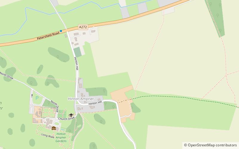
The Itchen Way is a 31.80-mile long-distance footpath following the River Itchen in Hampshire, England, from its source near Hinton Ampner House to its mouth at Woolston. The walk finishes at Sholing railway station. The route has been promoted by the Eastleigh Group of the Ramblers with grant aid from Hampshire County Council and Eastleigh Borough Council. The route was altered and improved in 2008. ()
Length: 31.8 miSeason: All yearCoordinates: 51°2'46"N, 1°8'46"W
Address
South Downs National Park
ContactAdd
Social media
Add
Day trips
Itchen Way – popular in the area (distance from the attraction)
Nearby attractions include: Meon Valley Railway Line, Riversdown English Immersions, Avington Park Golf Course, Beacon Hill.


