Henwood Down, South Downs National Park

Gallery (1)
Map
Map
Facts and practical information
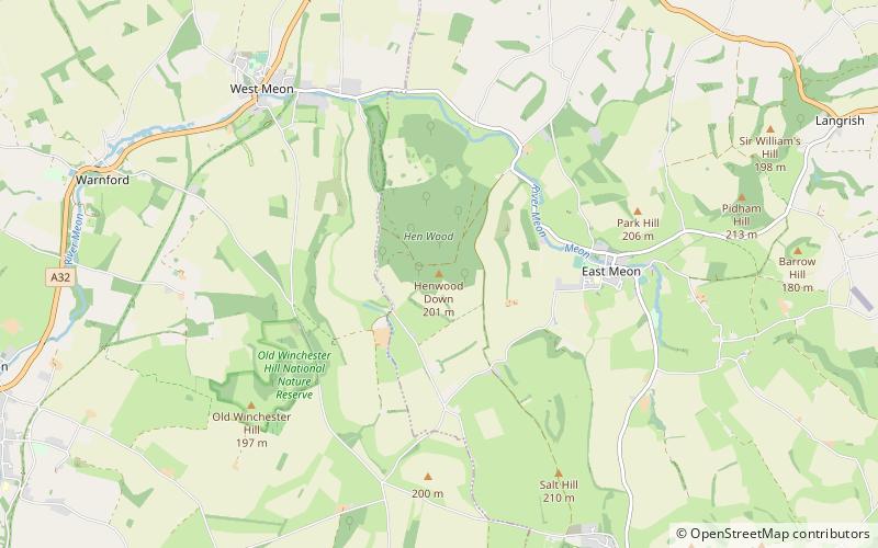
Henwood Down is one of the highest points in the county of Hampshire, England, and in the South Downs, reaching a height of 201 metres above sea level. Its prominence of 64 metres qualifies it as a Tump. ()
Elevation: 659 ftProminence: 210 ftCoordinates: 50°59'38"N, 1°3'34"W
Address
South Downs National Park
ContactAdd
Social media
Add
Day trips


