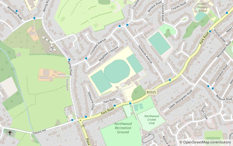
J. Samuel White's Ground, Cowes

Map
Facts and practical information
J. Samuel White's Ground is a sports ground in Park Road, Cowes, Isle of Wight, England. The ground is owned by the Isle of Wight Council and is surrounded by residential housing. A multitude of sports have been played at the ground, including cricket, football and bowls. ()
Coordinates: 50°45'26"N, 1°18'44"W
Address
Cowes
ContactAdd
Social media
Add
Day trips
J. Samuel White's Ground – popular in the area (distance from the attraction)
Nearby attractions include: Cowes Castle, Cowes Maritime Museum, St Faith's Church, St James's Church.
Frequently Asked Questions (FAQ)
Which popular attractions are close to J. Samuel White's Ground?
Nearby attractions include All Saints' Church, Isle of Wight (11 min walk), Northwood House, Cowes (15 min walk), St Mary the Virgin Church, Isle of Wight (16 min walk), St Faith's Church, Cowes (17 min walk).
How to get to J. Samuel White's Ground by public transport?
The nearest stations to J. Samuel White's Ground:
Bus
Bus
- Oakwood • Lines: 32 (5 min walk)
- Parklands Avenue • Lines: 32 (5 min walk)


