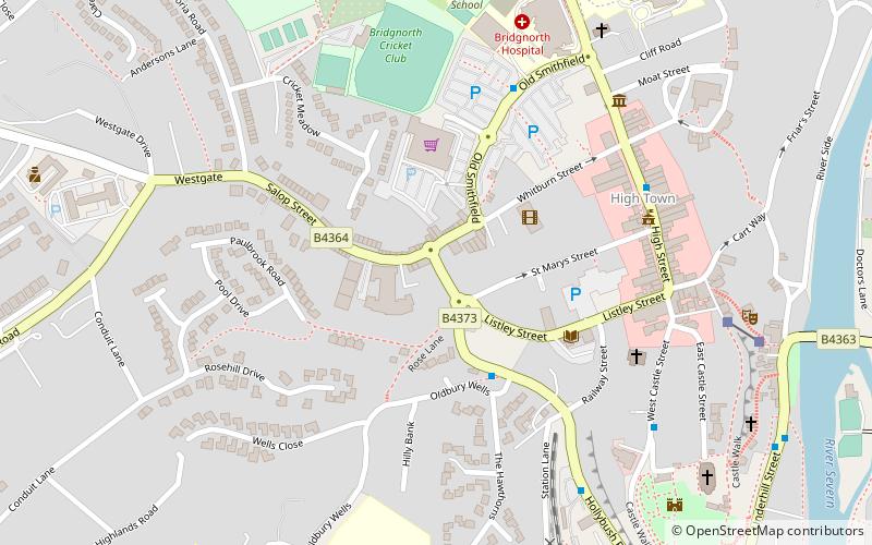
Jack Mytton Way, Bridgnorth
Map

Map

Facts and practical information
The Jack Mytton Way is a long distance footpath and bridleway for horseriders, hillwalkers and mountain bikers in mid and south Shropshire, England. It typically takes a week to ride on horseback. ()
Length: 93 miSeason: All yearCoordinates: 52°32'6"N, 2°25'26"W
Address
Bridgnorth
ContactAdd
Social media
Add
Day trips
Jack Mytton Way – popular in the area (distance from the attraction)
Nearby attractions include: Bridgnorth Town Hall, Bridgnorth Castle, St Leonard's Church, Church of St. Mary Magdalene.
Frequently Asked Questions (FAQ)
Which popular attractions are close to Jack Mytton Way?
Nearby attractions include Bridgnorth Town Hall, Bridgnorth (5 min walk), St Leonard's Church, Bridgnorth (7 min walk), Bridgnorth Castle, Bridgnorth (8 min walk), Church of St. Mary Magdalene, Bridgnorth (8 min walk).


