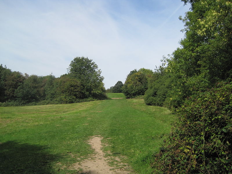
King George's Fields, London
Map

Gallery

Facts and practical information
King George's Fields is a 28 hectare Site of Borough Importance for Nature Conservation, Grade II, in Monken Hadley in the London Borough of Barnet. ()
Coordinates: 51°39'23"N, 0°11'42"W
Address
Barnet (High Barnet)London
ContactAdd
Social media
Add
Day trips
King George's Fields – popular in the area (distance from the attraction)
Nearby attractions include: The Spires Shopping Centre, Christ Church Barnet, Old Court House Recreation Ground, Highlands Gardens.
Frequently Asked Questions (FAQ)
Which popular attractions are close to King George's Fields?
Nearby attractions include Barnet Market, London (9 min walk), Chipping Barnet War Memorial, Monken Hadley Common (10 min walk), Barnet Museum, London (10 min walk), North London Coroner's Court, Monken Hadley Common (10 min walk).
How to get to King George's Fields by public transport?
The nearest stations to King George's Fields:
Bus
Metro
Train
Bus
- Hadley Green • Lines: 399, 626, 84 (8 min walk)
- St Albans Road • Lines: 234, 326, 383, 384, 389, 399, 626, 84 (8 min walk)
Metro
- High Barnet • Lines: Northern (11 min walk)
Train
- New Barnet (29 min walk)
- Hadley Wood (30 min walk)

 Tube
Tube


