Barnet Market, London
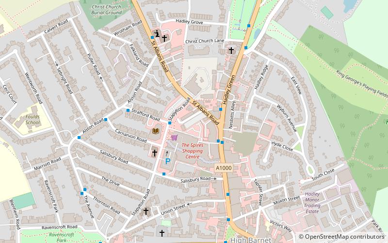
Map

Map

Facts and practical information
Barnet Market is a weekly market held in High Barnet, in the London Borough of Barnet, Greater London. ()
Coordinates: 51°39'23"N, 0°12'11"W
Day trips
Barnet Market – popular in the area (distance from the attraction)
Nearby attractions include: The Spires Shopping Centre, Dyrham Park Country Club, Christ Church Barnet, Old Court House Recreation Ground.
Frequently Asked Questions (FAQ)
Which popular attractions are close to Barnet Market?
Nearby attractions include Barnet Museum, London (4 min walk), Barnet Boys School Boer War Memorial, Monken Hadley Common (4 min walk), Christ Church Barnet, Monken Hadley Common (5 min walk), Chipping Barnet War Memorial, Monken Hadley Common (6 min walk).
How to get to Barnet Market by public transport?
The nearest stations to Barnet Market:
Bus
Metro
Train
Bus
- St Albans Road • Lines: 234, 326, 383, 384, 389, 399, 626, 84 (2 min walk)
- Carnarvon Road • Lines: 614 (3 min walk)
Metro
- High Barnet • Lines: Northern (15 min walk)
Train
- Hadley Wood (37 min walk)

 Tube
Tube


