Ludlow College, Ludlow
Map

Map

Facts and practical information
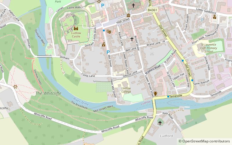
Ludlow College is a sixth form college situated in the heart of Ludlow, Shropshire, England. It now forms part of the Herefordshire and Ludlow College, though retains its own identity. ()
Coordinates: 52°21'55"N, 2°43'12"W
Address
Castle SquareLudlow
ContactAdd
Social media
Add
Day trips
Ludlow College – popular in the area (distance from the attraction)
Nearby attractions include: Ludlow Castle, St Laurence's Church, Mortimer Trail, Burway Bridge.
Frequently Asked Questions (FAQ)
Which popular attractions are close to Ludlow College?
Nearby attractions include Castle Lodge, Ludlow (4 min walk), Ludlow Castle, Ludlow (5 min walk), St Laurence's Church, Ludlow (6 min walk), Burway Bridge, Ludlow (14 min walk).
How to get to Ludlow College by public transport?
The nearest stations to Ludlow College:
Train
Train
- Ludlow (12 min walk)


