Mortimer Trail, Ludlow
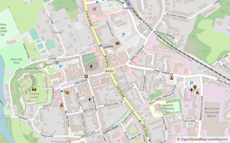
Map

Map

Facts and practical information
The Mortimer Trail is a waymarked long-distance footpath and recreational walk in the counties of Shropshire and Herefordshire in England. ()
Length: 30 miSeason: All yearCoordinates: 52°22'5"N, 2°43'1"W
Address
Ludlow
ContactAdd
Social media
Add
Day trips
Mortimer Trail – popular in the area (distance from the attraction)
Nearby attractions include: Ludlow Castle, St Laurence's Church, Burway Bridge, The Bull Hotel.
Frequently Asked Questions (FAQ)
Which popular attractions are close to Mortimer Trail?
Nearby attractions include St Laurence's Church, Ludlow (2 min walk), Castle Lodge, Ludlow (5 min walk), Ludlow College, Ludlow (6 min walk), Ludlow Castle, Ludlow (7 min walk).
How to get to Mortimer Trail by public transport?
The nearest stations to Mortimer Trail:
Train
Train
- Ludlow (6 min walk)


