Middlewood Way, Macclesfield

Gallery (5)
Map

Map

Gallery
Facts and practical information
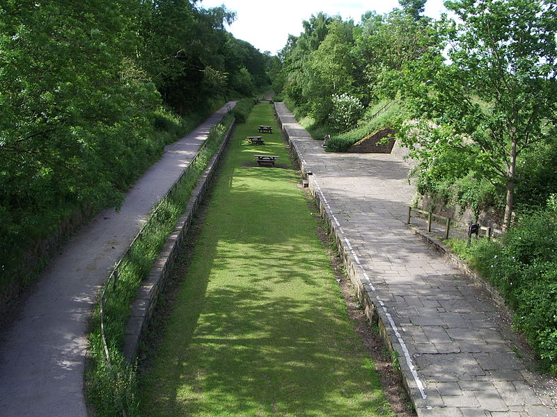
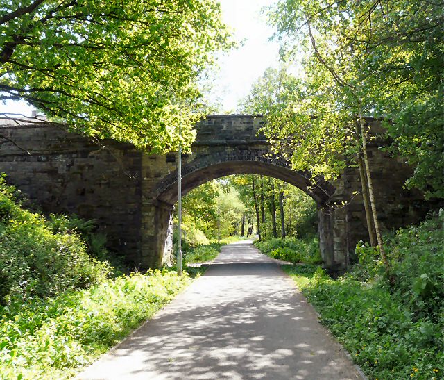
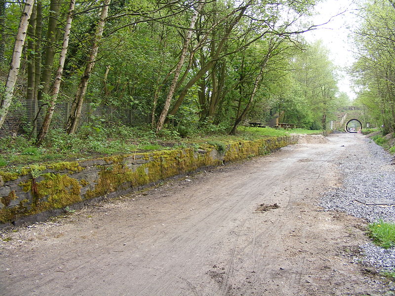
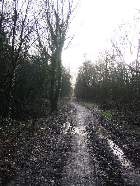
The Middlewood Way is an 11-mile "linear park" in England, between Macclesfield (53.2601°N 2.1229°W / 53.2601; -2.1229) and Rose Hill, Marple (53.3950°N 2.0774°W / 53.3950; -2.0774), opened on 30 May 1985 by Dr David Bellamy. ()
Coordinates: 53°15'36"N, 2°7'22"W
Address
Macclesfield
ContactAdd
Social media
Add
Getting there by public transportation
Public transportation stops near this location
- Bus
- Train
 Bus
Bus
- Calculate routeMacclesfield, Albert Place / Railway Station 2 min walk
- Calculate routeMacclesfield 2 min walk
Day trips


Frequently Asked Questions (FAQ)
Which popular attractions are close to Middlewood Way?
Nearby attractions include St Michael's Church, Macclesfield (2 min walk), Macclesfield Town Hall, Macclesfield (3 min walk), King Edward Street Chapel, Macclesfield (5 min walk), Macclesfield United Reformed Church, Macclesfield (6 min walk).
How to get to Middlewood Way by public transport?
The nearest stations to Middlewood Way:
Bus
Train
Bus
- Macclesfield, Albert Place / Railway Station • Lines: 391, 392 (2 min walk)
Train
- Macclesfield (2 min walk)