Macclesfield Cemetery, Macclesfield
Map

Gallery

Facts and practical information
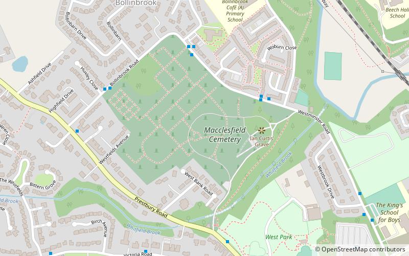
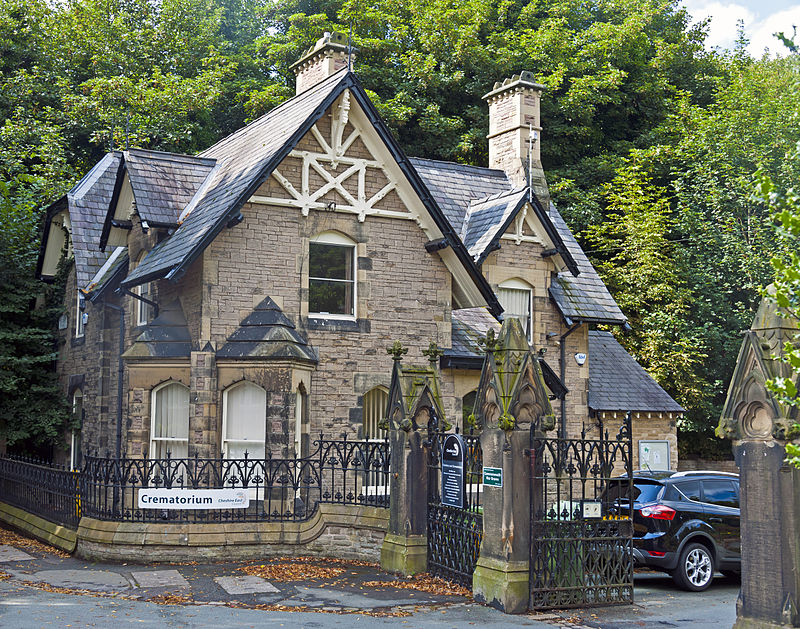
Macclesfield Cemetery, is a Victorian cemetery located on Prestbury Road, Macclesfield, Cheshire. It was opened on 17 May 1866 and consists of 68 acres of land including gardens of remembrance, cemetery walks take place three times a year. The site contains three chapels, terrace walks overlooking a stream and examples of monumental stone masonry. Macclesfield Crematorium is located within the grounds, the cemetery lodge is on Prestbury Road. ()
Coordinates: 53°15'59"N, 2°8'20"W
Day trips
Macclesfield Cemetery – popular in the area (distance from the attraction)
Nearby attractions include: Middlewood Way, Macclesfield Town Hall, Macclesfield Sunday School, St Michael's Church.
Frequently Asked Questions (FAQ)
Which popular attractions are close to Macclesfield Cemetery?
Nearby attractions include St Alban's Church, Macclesfield (13 min walk), St Alban's RC Church, Macclesfield (13 min walk), King Edward Street Chapel, Macclesfield (17 min walk), Christ Church, Macclesfield (17 min walk).
How to get to Macclesfield Cemetery by public transport?
The nearest stations to Macclesfield Cemetery:
Bus
Train
Bus
- Macclesfield, Beech Lane / northbound Beechwood Mews • Lines: 391, 392 (11 min walk)
Train
- Macclesfield (22 min walk)


