Moel y Gaer
Map

Map

Facts and practical information
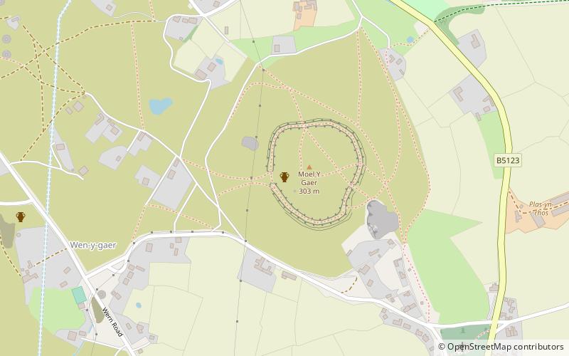
Moel y Gaer is an Iron Age hillfort located on a summit at the southern end of Halkyn Mountain, overlooking the village of Rhosesmor, Flintshire, Wales. It is a well-preserved hillfort overlooking the Dee Estuary. Excavations in the early 1970s revealed a sequence of defensive structures made of timber and several phases of building work inside the ramparts. ()
Coordinates: 53°12'45"N, 3°11'1"W
Location
Wales
ContactAdd
Social media
Add
Day trips
Moel y Gaer – popular in the area (distance from the attraction)
Nearby attractions include: Flint Castle, St Mary's Church, Mold Golf Club, St Mary's Church.


