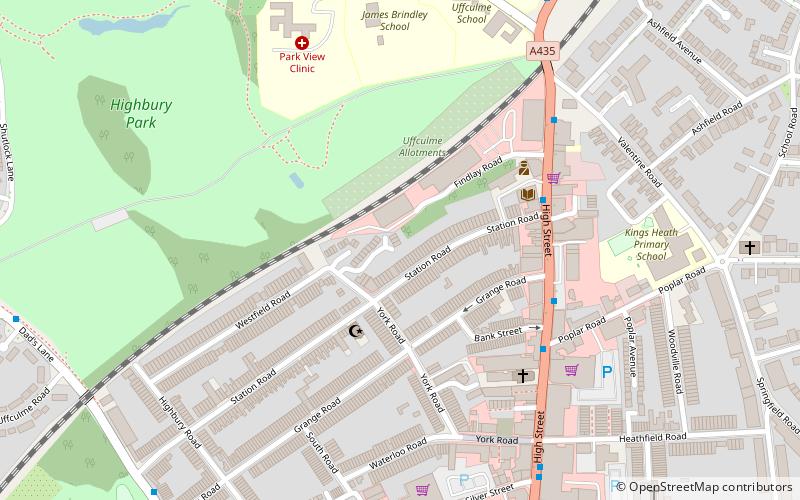
Moseley and Kings Heath, Birmingham

Map
Facts and practical information
Moseley and Kings Heath is a ward within the constituency of Hall Green, covering the greater part of the Moseley and Kings Heath areas of Birmingham, England. ()
Coordinates: 52°26'13"N, 1°53'45"W
Address
Moseley and Kings HeathBirmingham
ContactAdd
Social media
Add
Day trips
Moseley and Kings Heath – popular in the area (distance from the attraction)
Nearby attractions include: Cannon Hill Park, Winterbourne Botanic Garden, Moseley Park, Birmingham Wildlife Conservation Park.
Frequently Asked Questions (FAQ)
Which popular attractions are close to Moseley and Kings Heath?
Nearby attractions include Ritz Ballroom, Birmingham (5 min walk), Kings Heath, Birmingham (6 min walk), Highbury Park, Birmingham (7 min walk), All Saints' Church, Birmingham (8 min walk).
How to get to Moseley and Kings Heath by public transport?
The nearest stations to Moseley and Kings Heath:
Bus
Bus
- Salisbury Rd / Moseley Village • Lines: 1, 1A (19 min walk)
- Saint Marys Row / Moseley Village • Lines: 1, 1A (19 min walk)


