Albert Halls, Stirling
Map
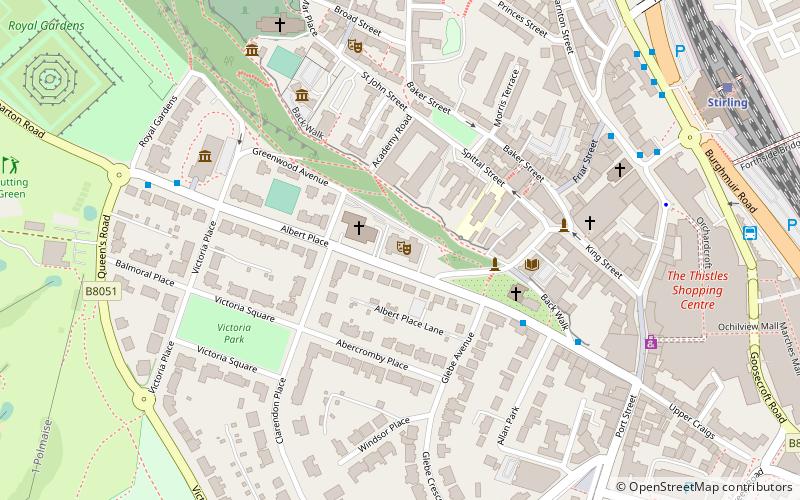
Map

Facts and practical information
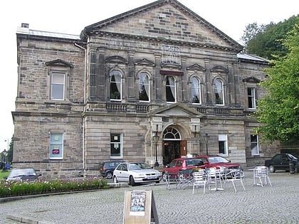
The Albert Halls are a concert and conference venue on Dumbarton Road, in Stirling, Scotland. ()
Coordinates: 56°7'5"N, 3°56'31"W
Day trips
Albert Halls – popular in the area (distance from the attraction)
Nearby attractions include: Stirling Castle, Thistles Centre, Statue of Robert the Bruce, Argyll's Lodging.
Frequently Asked Questions (FAQ)
Which popular attractions are close to Albert Halls?
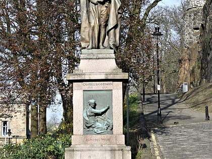
Nearby attractions include Statue of Henry Campbell-Bannerman, Stirling (3 min walk), Tolbooth Stirling, Stirling (5 min walk), Smith Art Gallery and Museum, Stirling (5 min walk), Cowane's Hospital, Stirling (6 min walk).
How to get to Albert Halls by public transport?
The nearest stations to Albert Halls:
Bus
Train
Bus
- Allan Park South Church • Lines: B12 (4 min walk)
- Stirling Bus Station • Lines: 24, B12, C11, X39 (8 min walk)
Train
- Stirling (8 min walk)
