St Mary Magdalene's Church

Gallery (2)
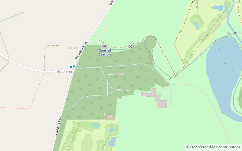
Map

Map
Gallery
Facts and practical information
St Mary Magdalene's Church is a redundant Anglican church near the village of Stapleford, Leicestershire, England. It is recorded in the National Heritage List for England as a designated Grade I listed building, and is under the care of the Churches Conservation Trust. It is situated in the grounds of Stapleford Park. ()
Completed: 1783 (243 years ago)Architectural style: Gothic revivalCoordinates: 52°45'19"N, 0°47'55"W
Day trips


