Stapleford Park

Gallery (1)
Map
Map
Facts and practical information
Stapleford Park is a Grade I listed country house in Stapleford, near Melton Mowbray in Leicestershire, England, which is now used as a hotel. It was originally the seat of the Sherard and Tamblyn families, later the Earls of Harborough and, from 1894, of the Gretton family, who would become the Barons Gretton. ()
Elevation: 285 ft a.s.l.Coordinates: 52°45'12"N, 0°47'32"W
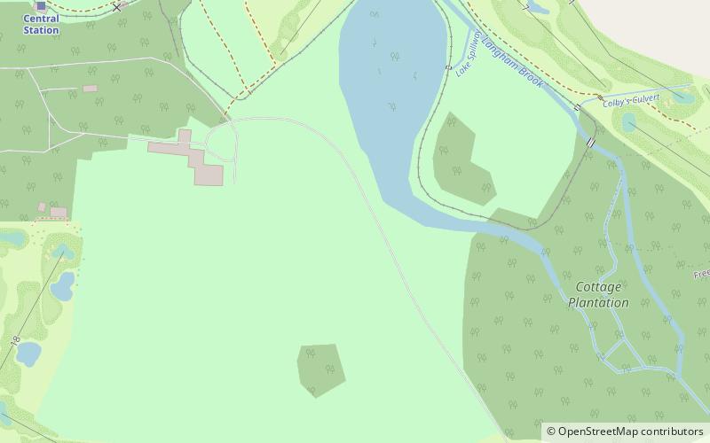
Location
England
ContactAdd
Social media
Add
Day trips


