The Ritz, Manchester
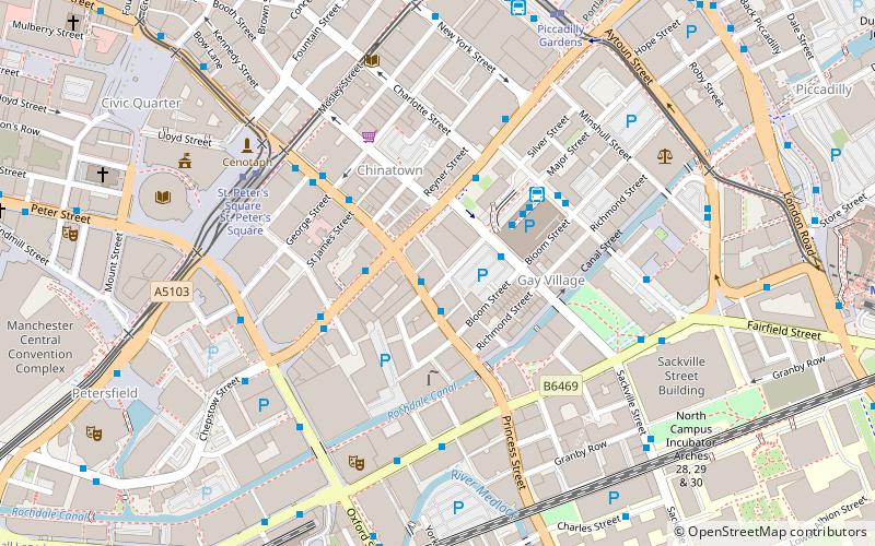
Map
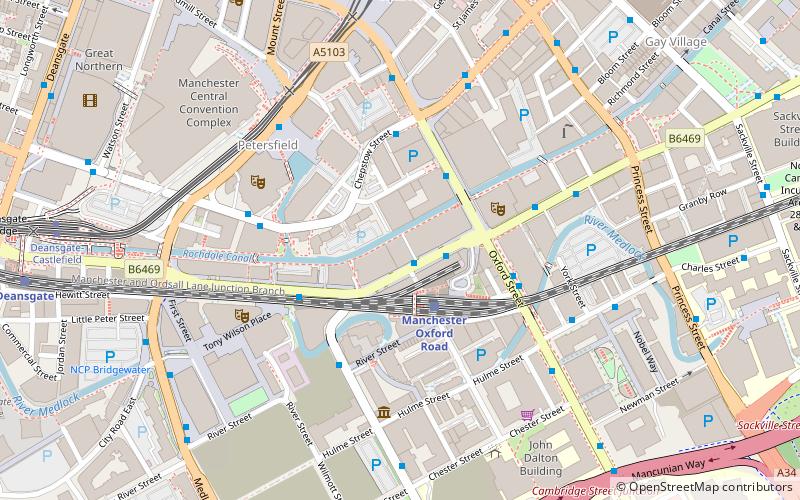
Map

Facts and practical information
The Ritz is a live music venue on Whitworth Street West, Manchester, England. Built in 1927, it was designated a Grade II listed building in 1994. The venue is notable for its sprung dance floor. The Ritz was taken over by HMV in 2011 and given a £2 million refurbishment. ()
Capacity: 1500Coordinates: 53°28'28"N, 2°14'35"W
Day trips
The Ritz – popular in the area (distance from the attraction)
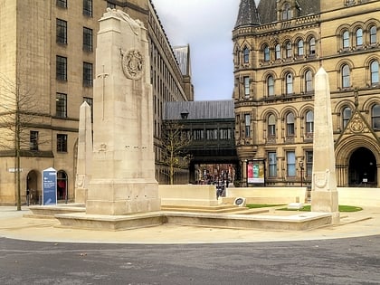
Nearby attractions include: Manchester Art Gallery, The Briton's Protection, Manchester Cenotaph, Bridgewater Hall.
Frequently Asked Questions (FAQ)
Which popular attractions are close to The Ritz?
Nearby attractions include Tootal, Manchester (2 min walk), The Green Building, Manchester (2 min walk), Canada House, Manchester (2 min walk), Cornerhouse, Manchester (3 min walk).
How to get to The Ritz by public transport?
The nearest stations to The Ritz:
Bus
Train
Tram
Bus
- Whitworth St West/Oxford Rd Stn • Lines: 2, 2 (peak) (2 min walk)
- Manchester City Centre, Oxford Street / near Gt Bridgewater Street • Lines: 191, 197 (2 min walk)
Train
- Manchester Oxford Road (2 min walk)
- Deansgate (9 min walk)
Tram
- St. Peter's Square • Lines: Airp, Altr, Asht, Bury, Eccl, EDid, Mcuk, Picc, Roch, Shaw, Vict (7 min walk)
- Deansgate-Castlefield • Lines: Airp, Altr, Asht, Bury, Dean, Eccl, EDid, Mcuk, Picc, Roch, Shaw, Vict (8 min walk)

 Metrolink
 Metrolink / Rail


