Dancehouse, Manchester
Map

Map

Facts and practical information
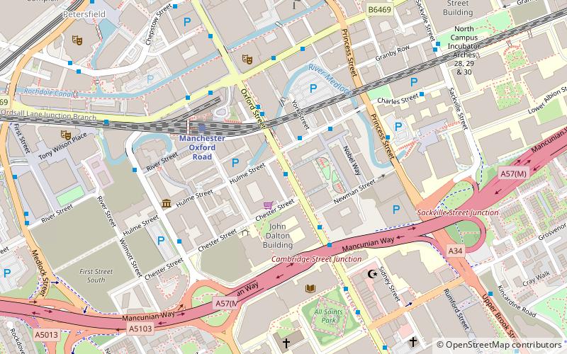
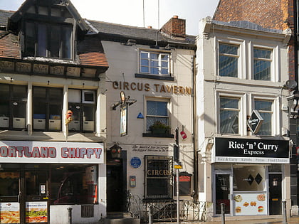
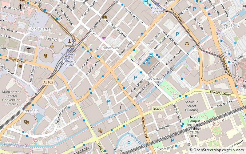
The Dancehouse is a dance centre at 10 Oxford Road, Manchester, England. ()
Coordinates: 53°28'22"N, 2°14'23"W
Day trips
Dancehouse – popular in the area (distance from the attraction)
Nearby attractions include: Manchester Art Gallery, The Briton's Protection, Manchester Aquatics Centre, Bridgewater Hall.
Frequently Asked Questions (FAQ)
Which popular attractions are close to Dancehouse?
Nearby attractions include 17 New Wakefield Street, Manchester (3 min walk), Cornerhouse, Manchester (3 min walk), The Green Building, Manchester (4 min walk), Sir Kenneth Green Library, Manchester (4 min walk).
How to get to Dancehouse by public transport?
The nearest stations to Dancehouse:
Bus
Train
Tram
Bus
- Manchester City Centre, Oxford Road / near Hulme Street • Lines: 197, 42, 42B, 42C (1 min walk)
- Manchester City Centre, Oxford Road / outside Oxford House • Lines: 191, 197, 42, 42B, 42C (2 min walk)
Train
- Manchester Oxford Road (4 min walk)
- Deansgate (12 min walk)
Tram
- St. Peter's Square • Lines: Airp, Altr, Asht, Bury, Eccl, EDid, Mcuk, Picc, Roch, Shaw, Vict (10 min walk)
- Deansgate-Castlefield • Lines: Airp, Altr, Asht, Bury, Dean, Eccl, EDid, Mcuk, Picc, Roch, Shaw, Vict (12 min walk)

 Metrolink
 Metrolink / Rail


