The Warehouse Project, Manchester
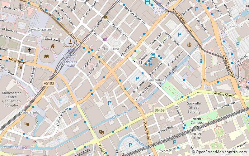
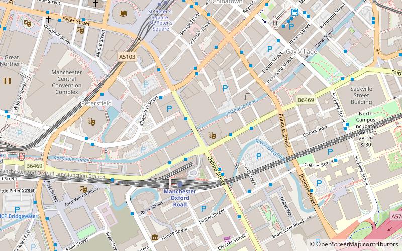
Map
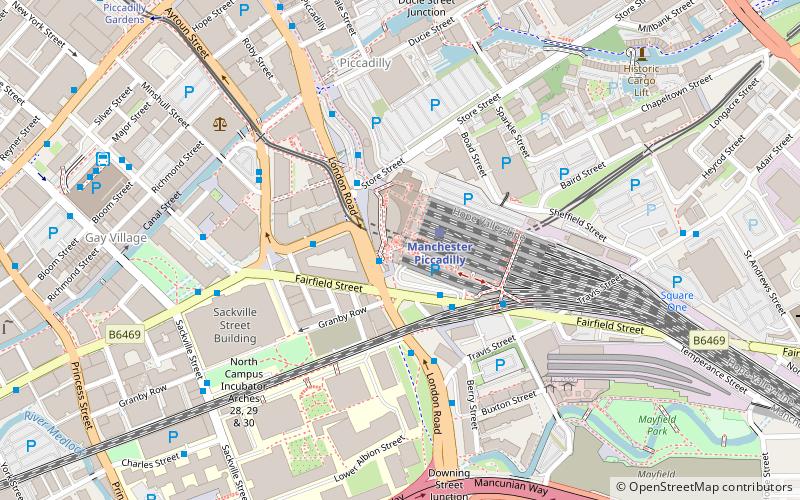
Map

Facts and practical information
The Warehouse Project is a series of club nights organised in Greater Manchester, England, since 2006. Unlike most other clubs, it has a limited seasonal approach rather than running all year. Each year's season runs from September through to New Years Day, plus occasional one off dates such as Bank Holiday weekends. This period corresponds with the busiest time of the year and the student calendar. ()
Opened: 2006 (20 years ago)Capacity: 16 thous.Coordinates: 53°28'37"N, 2°13'52"W
Day trips
The Warehouse Project – popular in the area (distance from the attraction)
Nearby attractions include: Oldham Street, Manchester Art Gallery, Piccadilly Gardens, Afflecks.
Frequently Asked Questions (FAQ)
Which popular attractions are close to The Warehouse Project?
Nearby attractions include Piccadilly Tower, Manchester (1 min walk), Godlee Observatory, Manchester (3 min walk), Gateway House, Manchester (3 min walk), Sackville Street Building, Manchester (4 min walk).
How to get to The Warehouse Project by public transport?
The nearest stations to The Warehouse Project:
Bus
Tram
Train
Bus
- Manchester City Centre, London Road / Manchester Piccadilly Rail Station • Lines: 192, 203 (1 min walk)
- Manchester City Centre, Whitworth Street / Minshull Street South • Lines: 192, X92 (2 min walk)
Tram
- Piccadilly • Lines: Altr, Asht, Bury, Eccl, Mcuk, Picc (1 min walk)
- Market Street • Lines: Airp, Altr, Bury, Picc, Vict (12 min walk)
Train
- Manchester Piccadilly (1 min walk)
- Manchester Oxford Road (14 min walk)

 Metrolink
 Metrolink / Rail


