Pinner Parish Church, London
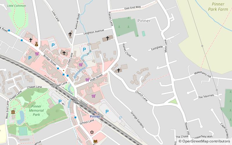
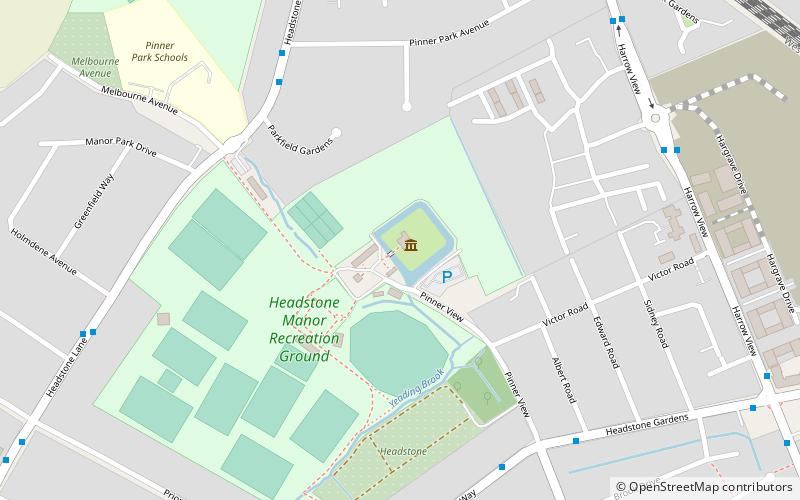
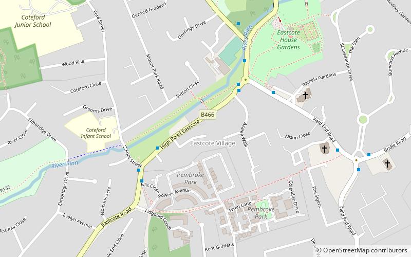
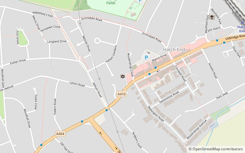
Map

Map

Facts and practical information
Pinner House is a Grade II* listed mansion in Pinner, Middlesex. Its facade was built in 1721, but the rest of the building was constructed at some point earlier that century. It was extended during the 20th century, and has been used as an old people's home since the 1930s. ()
Coordinates: 51°35'40"N, 0°22'45"W
Day trips
Pinner Parish Church – popular in the area (distance from the attraction)
Nearby attractions include: Harrow Museum, Harrow Arts Centre, St John the Baptist, Headstone Manor.
Frequently Asked Questions (FAQ)
Which popular attractions are close to Pinner Parish Church?
Nearby attractions include St John the Baptist, London (1 min walk), Pinner, London (4 min walk), Heath Robinson Museum, London (9 min walk), Hatch End, London (13 min walk).
How to get to Pinner Parish Church by public transport?
The nearest stations to Pinner Parish Church:
Metro
Bus
Train
Metro
- Pinner • Lines: Metropolitan (4 min walk)
- North Harrow • Lines: Metropolitan (25 min walk)
Bus
- Pinner Station • Lines: 183, H11, H12, H13 (5 min walk)
- Pinner Station / Bridge Street • Lines: 183 (5 min walk)
Train
- Headstone Lane (29 min walk)
- Hatch End (29 min walk)

 Tube
Tube


