Kol Chai Hatch End Reform Jewish Community, Watford

Map
Facts and practical information
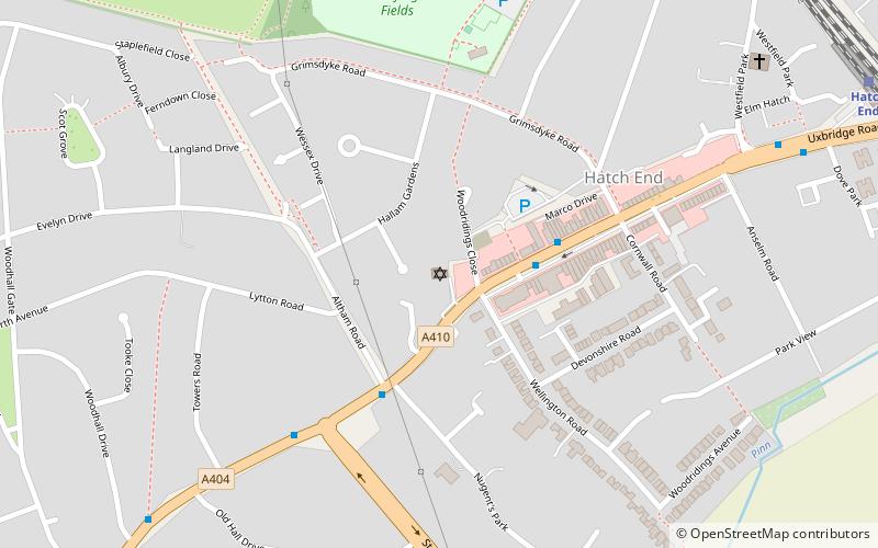
Kol Chai Hatch End Reform Jewish Community, a member of the Movement for Reform Judaism, is a Reform Jewish congregation at 434 Uxbridge Road, Hatch End, Pinner in the London Borough of Harrow. It was founded in March 1987. ()
Coordinates: 51°36'26"N, 0°22'38"W
Address
Harrow (Hatch End)Watford
ContactAdd
Social media
Add
Day trips
Kol Chai Hatch End Reform Jewish Community – popular in the area (distance from the attraction)
Nearby attractions include: Harrow Museum, Pinner Parish Church, Harrow Arts Centre, St John the Baptist.
Frequently Asked Questions (FAQ)
Which popular attractions are close to Kol Chai Hatch End Reform Jewish Community?
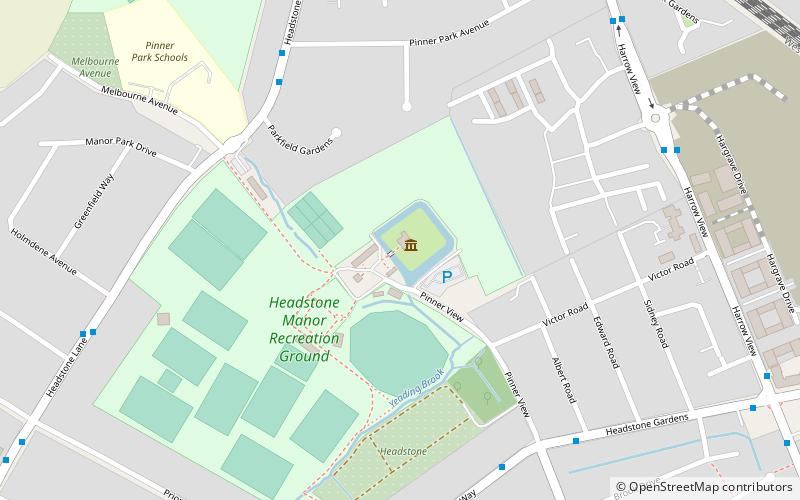
Nearby attractions include Hatch End, London (12 min walk), Harrow Arts Centre, Watford (15 min walk), Headstone, Watford (19 min walk), Prestwick Road Meadows, Watford (22 min walk).
How to get to Kol Chai Hatch End Reform Jewish Community by public transport?
The nearest stations to Kol Chai Hatch End Reform Jewish Community:
Bus
Train
Metro
Bus
- Hatch End Telephone Exchange • Lines: H12, H14 (3 min walk)
- St Thomas' Drive • Lines: H12, H14 (4 min walk)
Train
- Hatch End (11 min walk)
- Headstone Lane (24 min walk)
Metro
- Pinner • Lines: Metropolitan (26 min walk)


