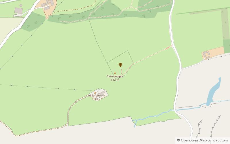
Cairnpapple Hill, Bathgate

Facts and practical information
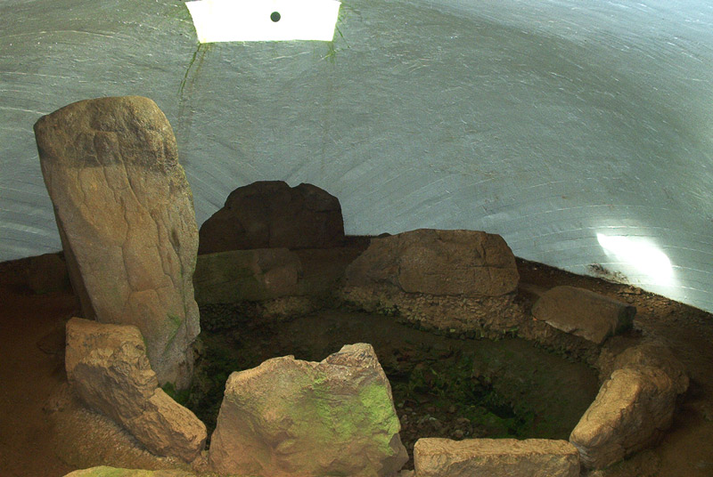
Cairnpapple Hill is a hill with a dominating position in central lowland Scotland with views from coast to coast. It was used and re-used as a major ritual site over about 4000 years, and in its day would have been comparable to better known sites like the Standing Stones of Stenness. The summit lies 312 m above sea level, and is about 2 miles north of Bathgate. In the 19th century the site was completely concealed by trees, then in 1947–1948 excavations by Stuart Piggott found a series of ritual monuments from successive prehistoric periods. In 1998, Gordon Barclay re-interpreted the site for Historic Scotland. It is designated a scheduled ancient monument. Hilderston in the valley to the east was the site of large but short-lived mining operation following the discovery of silver in 1606. ()


