Muiravonside Country Park

Gallery (3)
Map
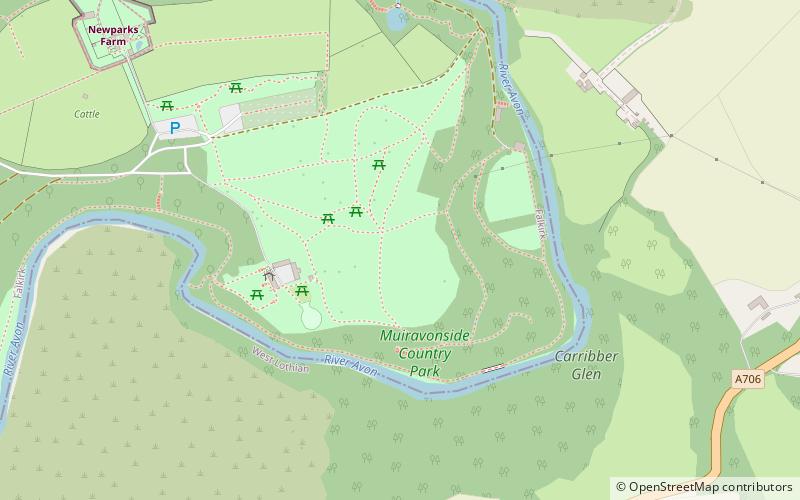
Map
Gallery
Facts and practical information
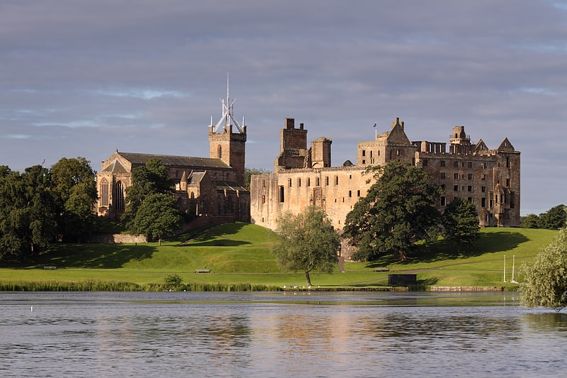
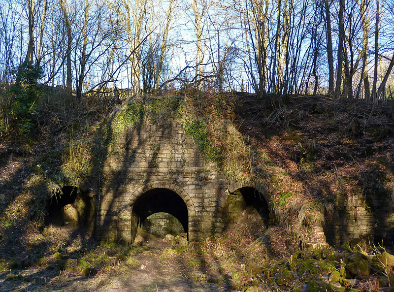
Muiravonside Country Park is 170 acres of woodland and parkland open to the public all year round with marked trails, picnic sites and a play area. It is situated in the south-east corner of Falkirk, approximately 1 mile south of Maddiston, 2 miles south-east of Linlithgow and about 4 miles north of Armadale and Bathgate. It was once the grounds of Muiravonside House and the country estate owned by the Stirling family of Falkirk. ()
Created: 1977Elevation: 272 ft a.s.l.Coordinates: 55°57'37"N, 3°39'24"W
Location
The Loan, Whitecross, West Lothian EH49 6LWScotland
ContactAdd
Social media
Add
Day trips