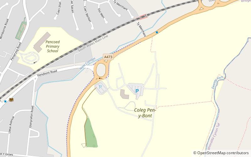
Pencoed College, Pencoed

Map
Facts and practical information
Pencoed College was founded in 1925 to serve sons and daughters of farmers. Its main building is the old Tregroes House and was originally known as Pencoed College of Agriculture, Horticulture and Environmental Studies. It was locally known as “The Demonstration Farm”. ()
Coordinates: 51°31'36"N, 3°29'23"W
Address
Pencoed
ContactAdd
Social media
Add
Day trips
Pencoed College – popular in the area (distance from the attraction)
Nearby attractions include: McArthur Glen, Bryngarw Country Park, Coity Castle, Newcastle Castle.


