The Blue, London
Map
Gallery
Facts and practical information
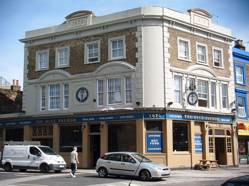
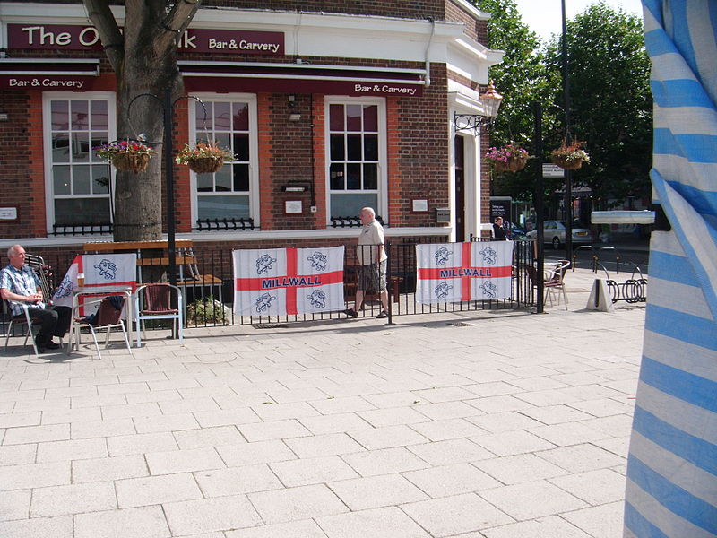
The Blue is a central market place in Bermondsey. The market is open Monday to Saturday from 9am until 5pm and has about 10 stall holders, selling food and clothes. The area has been known locally as The Blue for more than two hundred and thirty years and is probably named after the original Blue Anchor public house that gave its name to Blue Anchor Lane. The market has capacity for 24 stalls. ()
Coordinates: 51°29'33"N, 0°3'49"W
Address
Southwark (South Bermondsey)London
ContactAdd
Social media
Add
Day trips
The Blue – popular in the area (distance from the attraction)
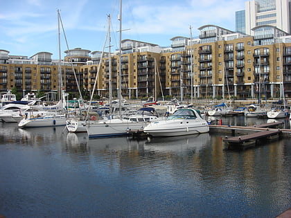
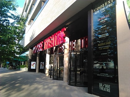
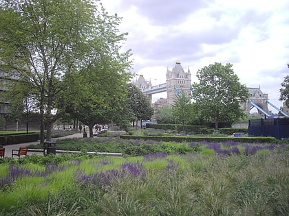
Nearby attractions include: St. Katharine Docks, Bridge Theatre, The Den, Potters Fields Park.
Frequently Asked Questions (FAQ)
Which popular attractions are close to The Blue?
Nearby attractions include Paterson Park, London (8 min walk), Southwark Park, London (11 min walk), Bermondsey Town Hall, London (13 min walk), Bermondsey Spa Gardens, London (13 min walk).
How to get to The Blue by public transport?
The nearest stations to The Blue:
Bus
Metro
Train
Ferry
Bus
- Esmeralda Road • Lines: 381, N381, P12 (5 min walk)
- Catlin Street • Lines: 381, N381, P12 (10 min walk)
Metro
- Bermondsey • Lines: Jubilee (10 min walk)
- Canada Water • Lines: Jubilee (19 min walk)
Train
- South Bermondsey (13 min walk)
- Surrey Quays (18 min walk)
Ferry
- Saint Katharine's Pier • Lines: Blue Tour, Green Tour (27 min walk)
- Tower Millennium Pier • Lines: Rb1, Rb1X, Rb2, Red Tour (32 min walk)



 Tube
Tube