Town of Ramsgate, London
Map
Map

Facts and practical information
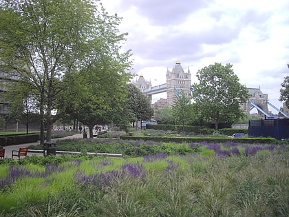
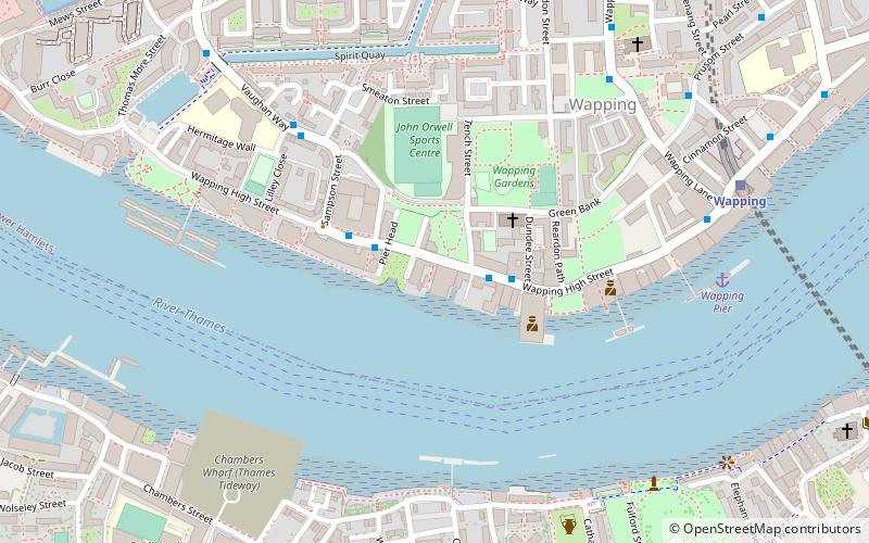
The Town of Ramsgate public house is located at the centre of the ancient hamlet of Wapping in the London Borough of Tower Hamlets. It features in several books about London inns where it is rated as "a notable specimen of a waterman's tavern." ()
Coordinates: 51°30'12"N, 0°3'43"W
Address
62 Wapping High StreetTower Hamlets (St. Katharine's and Wapping)London
Contact
+44 20 7481 8000
Social media
Add
Day trips
Town of Ramsgate – popular in the area (distance from the attraction)
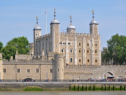
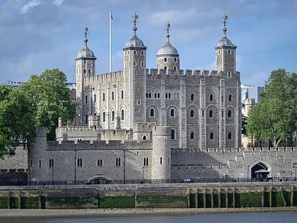
Nearby attractions include: Tower of London, Tower Bridge, City Hall, St. Katharine Docks.
Frequently Asked Questions (FAQ)
Which popular attractions are close to Town of Ramsgate?
Nearby attractions include King's Stairs Gardens, London (9 min walk), Tobacco Dock, London (10 min walk), St. Mary's Church, London (10 min walk), Wapping Wall, London (11 min walk).
How to get to Town of Ramsgate by public transport?
The nearest stations to Town of Ramsgate:
Train
Metro
Ferry
Light rail
Bus
Train
- Wapping (7 min walk)
- Rotherhithe (13 min walk)
Metro
- Bermondsey • Lines: Jubilee (11 min walk)
- Canada Water • Lines: Jubilee (17 min walk)
Ferry
- Saint Katharine's Pier • Lines: Blue Tour, Green Tour (14 min walk)
- Tower Millennium Pier • Lines: Rb1, Rb1X, Rb2, Red Tour (20 min walk)
Light rail
- Shadwell Platform 2 • Lines: B-L, B-Wa, Tg-B (17 min walk)
- Tower Gateway Platform 2 • Lines: Tg-B (18 min walk)
Bus
- Canada Water Bus Station (17 min walk)
- Druid Street • Lines: 42 (18 min walk)

 Tube
Tube