Slieve Commedagh
#1048 among destinations in the United Kingdom


Facts and practical information
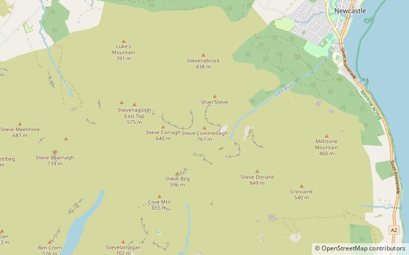
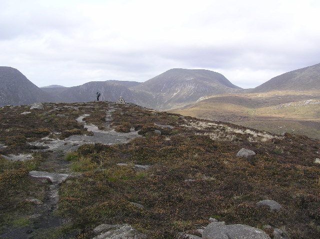
Slieve Commedagh is a mountain with a height of 767 m in County Down, Northern Ireland. It is the second-highest of the Mourne Mountains, after Slieve Donard, and the second-highest mountain in Northern Ireland. ()
Northern IrelandUnited Kingdom
Slieve Commedagh – popular in the area (distance from the attraction)
Nearby attractions include: Tide pool, Tollymore Forest Park, Slieve Donard, Slieve Binnian.
 Watersports, Swimming pool
Tide pool, Newcastle
56 min walk • A tide pool or rock pool is a shallow pool of seawater that forms on the rocky intertidal shore. Many of these pools exist as separate bodies of water only at low tide.
 Park
ParkTollymore Forest Park
53 min walk • Nestled in the heart of County Down, Northern Ireland, Tollymore Forest Park is an enchanting expanse of woodland that offers a natural retreat for visitors looking to immerse themselves in the beauty of the great outdoors.
 Northern Ireland's highest peak
Slieve Donard
24 min walk • Slieve Donard is the highest mountain in Northern Ireland and the wider province of Ulster, with a height of 850 metres. The highest of the Mourne Mountains, it is near the town of Newcastle on the eastern coast of County Down, overlooking the Irish Sea.
 Nature, Natural attraction, Mountain
Slieve Binnian
93 min walk • Slieve Binnian is one of the Mourne Mountains in County Down, Northern Ireland, 9 km north of Kilkeel. It is the third-highest mountain in Northern Ireland at 747 metres.
 Park
ParkCastlewellan Forest Park
138 min walk • Castlewellan Forest Park is located in the town of Castlewellan in County Down, Northern Ireland. The park covers some 460 hectares, including woodland and a 40 hectare lake.
 Nature, Natural attraction, Mountain
Slieve Bearnagh
54 min walk • Slieve Bearnagh is one of the Mourne Mountains in County Down, Northern Ireland. It has a height of 739 metres. Its summit is crowned by two tors with a gap between them, giving it a distinctive shape.
 Park
ParkDonard Park, Newcastle
49 min walk • Donard Park is a public park located in Newcastle, County Down, Northern Ireland. It is next to the Glen River, which forms the boundary along one side and is at the foot of Slieve Donard, the highest mountain in Northern Ireland, part of the Mourne Mountains.
 Nature, Natural attraction, Mountain
Slieve Meelbeg
73 min walk • Slieve Meelbeg is a mountain located in the Mourne Mountains. It is a popular hiking destination and is 5.5 miles east of the village of Hilltown.
 Nature, Natural attraction, Forest
Donard Forest
46 min walk • Donard Forest is located near Newcastle, County Down, Northern Ireland. It borders Donard Park at the foot of the Mourne Mountains. The Glen River flows through the forest where it is crossed by three stone bridges. The north east section of the forest contains a Heritage Stand of Scots and Corsican pine planted in 1927.
 Nature, Natural attraction, Cliff
Ben Crom
67 min walk • Ben Crom is a 526 metres mountain in the Mourne Mountains in County Down, Northern Ireland. It is situated beside Ben Crom Reservoir, which is upstream from Silent Valley Reservoir. The mountain is composed of granite.
 Nature, Natural attraction, Mountain
Mourne Wall
111 min walk • The Mourne Wall was constructed to enclose a catchment area of the Silent Valley Reservoir in the Mourne Mountains, Northern Ireland. The 1.5 metres high stone wall, which was built to keep livestock from contaminating water supplies, took almost twenty years to complete.
