Plas Menai, Caernarfon
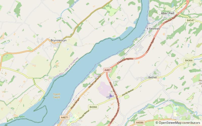
Map
Map

Facts and practical information
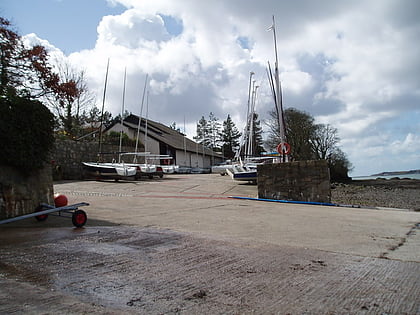
Plas Menai is the National Outdoor Centre for Wales. It is situated on the mainland side of the Menai Strait, and is approximately 3 miles East of Caernarfon, North Wales. ()
Coordinates: 53°10'16"N, 4°14'29"W
Day trips
Plas Menai – popular in the area (distance from the attraction)
Nearby attractions include: Caernarfon Castle, GreenWood Forest Park, Castles and Town Walls of King Edward in Gwynedd, Bryn Celli Ddu.
Frequently Asked Questions (FAQ)
How to get to Plas Menai by public transport?
The nearest stations to Plas Menai:
Bus
Bus
- Tal Menai • Lines: T2 (26 min walk)
