Aber Swing Bridge, Caernarfon
Map

Map

Facts and practical information
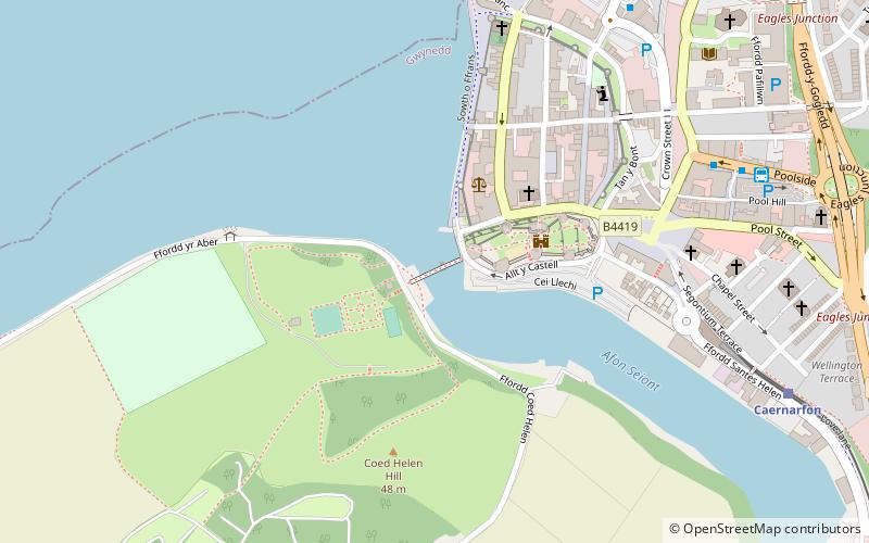
The Aber Swing Bridge, also known as the Pont yr Aber and Caernarfon swing bridge, is a pedestrian swing bridge in Gwynedd, Wales. This footbridge crosses over the Afon Seiont from the foreshore to the Watergate entrance in the centre of Caernarfon near Caernarfon Castle. It was built in 1970, is made of concrete and steel, and is powered with electricity. ()
Coordinates: 53°8'20"N, 4°16'44"W
Address
Caernarfon
ContactAdd
Social media
Add
Day trips
Aber Swing Bridge – popular in the area (distance from the attraction)
Nearby attractions include: Caernarfon Castle, Castles and Town Walls of King Edward in Gwynedd, Segontium, Royal Welch Fusiliers Museum.
Frequently Asked Questions (FAQ)
Which popular attractions are close to Aber Swing Bridge?
Nearby attractions include Royal Welch Fusiliers Museum, Caernarfon (2 min walk), Caernarfon Castle, Caernarfon (3 min walk), Castles and Town Walls of King Edward in Gwynedd, Caernarfon (3 min walk), Caernarfon town walls, Caernarfon (14 min walk).
How to get to Aber Swing Bridge by public transport?
The nearest stations to Aber Swing Bridge:
Bus
Train
Bus
- Caernarfon Stop A • Lines: T2 (7 min walk)
- Caernarfon Bus Station (8 min walk)
Train
- Caernarfon (8 min walk)


