New Town, Edinburgh
Map
Gallery

Facts and practical information
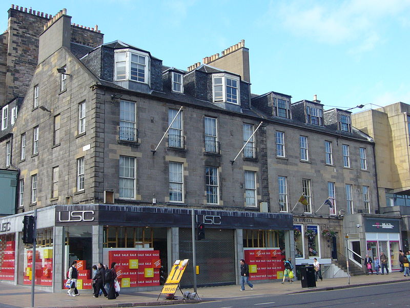
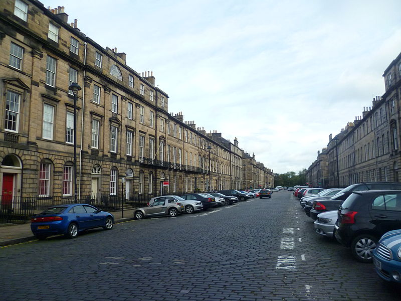
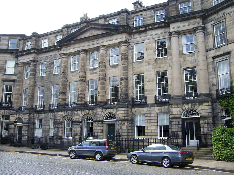
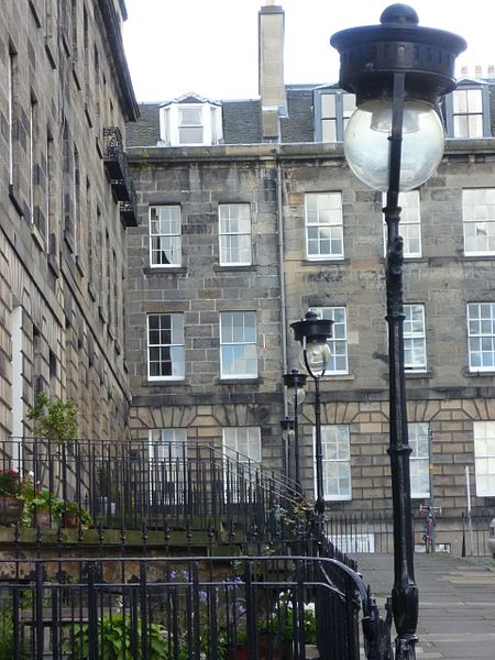
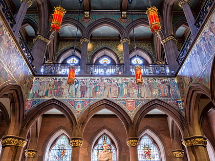
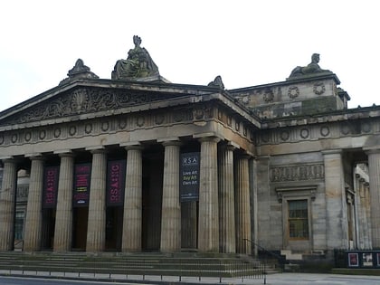
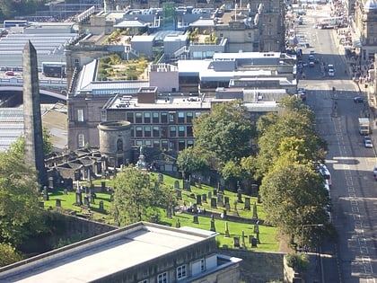
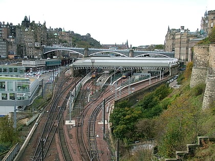
The New Town is a central area of Edinburgh, the capital of Scotland. It was built in stages between 1767 and around 1850, and retains much of its original neo-classical and Georgian period architecture. Its best known street is Princes Street, facing Edinburgh Castle and the Old Town across the geological depression of the former Nor Loch. Together with the Old Town, and West End, the New Town was designated a UNESCO World Heritage Site in 1995. The area is also famed for the New Town Gardens, a heritage designation since March 2001. ()
Address
New TownEdinburgh
ContactAdd
Social media
Add
Day trips
New Town – popular in the area (distance from the attraction)
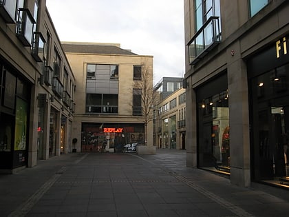
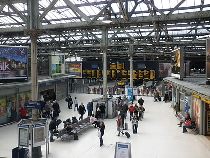
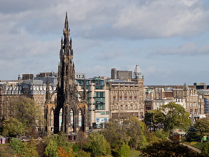
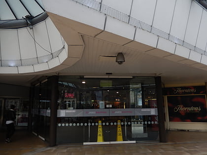
Nearby attractions include: Multrees Walk, Calton Hill, Waverley Mall, Scott Monument.
Frequently Asked Questions (FAQ)
Which popular attractions are close to New Town?
Nearby attractions include York Place, Edinburgh (4 min walk), Scottish National Portrait Gallery, Edinburgh (4 min walk), St Paul's and St George's Church, Edinburgh (5 min walk), St Mary's Cathedral, Edinburgh (6 min walk).
How to get to New Town by public transport?
The nearest stations to New Town:
Bus
Tram
Train
Bus
- Broughton Street • Lines: 8 (4 min walk)
- Dublin Street • Lines: 10, 11, 12, 16, 26, 44 (4 min walk)
Tram
- St Andrew Square • Lines: Edinburgh Trams Eastbound, Edinburgh Trams Westbound (6 min walk)
- Princes Street • Lines: Edinburgh Trams Eastbound, Edinburgh Trams Westbound (12 min walk)
Train
- Edinburgh Waverley (11 min walk)
- Haymarket (34 min walk)


