Torthorwald Castle

Gallery (1)
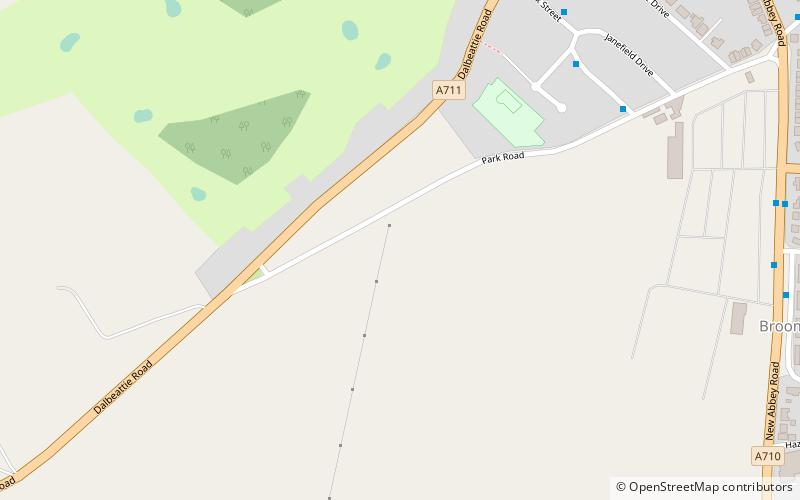
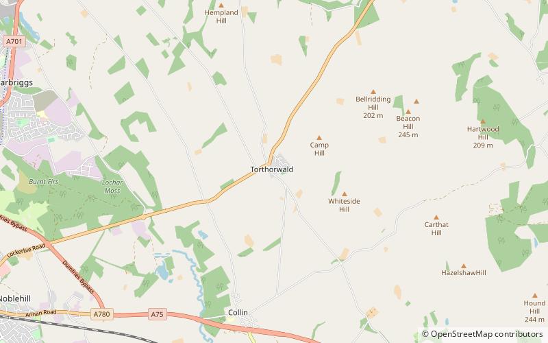
Map
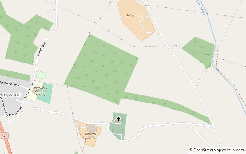
Map
Facts and practical information
Torthorwald Castle is a large ruined rectangular tower at the centre of the village of Torthorwald just outside Dumfries in south west Scotland. The first castle on the site was an earthwork motte-and-bailey built in the 12th century. The earliest building which forms part of the current ruins was built in the 14th century. ()
Built: XIV centuryCoordinates: 55°5'21"N, 3°30'52"W
Location
Scotland
ContactAdd
Social media
Add
Day trips