Church of St Mary
#2346 among destinations in the United Kingdom
![Church of St Mary location map](https://tzmedia.b-cdn.net/media/images/static-maps/gb/52_1469_-0_24291.jpg)
Facts and practical information
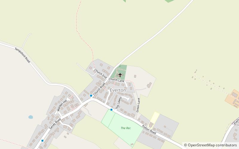
Church of St Mary is a Grade I listed church in Everton, Bedfordshire, England. It became a listed building on 26 November 1986. Its most famous rector was John Berridge, an early Methodist leader. ()
EnglandUnited Kingdom
Church of St Mary plan & book
Unleash the traveler in you — discover the cheapest flight deals, find the perfect hotel or hostel nearby, and search for the best car rental prices. Travel at your own pace to discover new places and enjoy your journey.
Church of St Mary – popular in the area (distance from the attraction)
Nearby attractions include: John O'Gaunt Golf Club, Church of St Andrew, The Lodge RSPB reserve, Packhorse bridge.
2.3 miSEGolfJohn O'Gaunt Golf Club, Potton
59 min walk • John O'Gaunt Golf Club is a golf club, located two-and-a-half miles to the north-east of Biggleswade, Bedfordshire, England, just north of the village of Sutton. It was established in 1948. As of 1995 the course measured 6,513 yards.
4.3 miSChurchChurch of St Andrew, Biggleswade
109 min walk • St Andrew's Church is the Anglican parish church for the town of Biggleswade in Bedfordshire, England. The church is Grade II* listed and comes under the Diocese of St Albans.
2.1 miSWParkThe Lodge RSPB reserve
55 min walk • RSPB The Lodge is a nature reserve run by the Royal Society for the Protection of Birds, named after the building there, The Lodge, which is their headquarters. It is located south-east of the town of Sandy, Bedfordshire, in England.
2.6 miSEBridgePackhorse bridge
68 min walk • A packhorse bridge is a bridge intended to carry packhorses across a river or stream. Typically a packhorse bridge consists of one or more narrow masonry arches, and has low parapets so as not to interfere with the panniers borne by the horses.
4.2 miWBridgeGreat Barford Bridge, Great Barford
109 min walk • The early fifteenth century Great Barford Bridge, sometimes called simply Barford Bridge, spans the River Great Ouse at Great Barford, Bedfordshire. It is an arch bridge with seventeen arches, originally built from limestone and sandstone.
3.6 miNEChurchSt Margaret's Church
92 min walk • St Margaret's Church is a historic Anglican church in the village of Abbotsley, Cambridgeshire, England. It is recorded in the National Heritage List for England as a designated Grade II* listed building, and is under the care of The Churches Conservation Trust.
3.8 miNWChurchSt Denys' Church
99 min walk • St Denys' Church is a redundant Anglican church in the village of Little Barford, Bedfordshire, England. It is recorded in the National Heritage List for England as a designated Grade II* listed building, and is under the care of the Churches Conservation Trust.
4.2 miSEChurchChurch of St Peter
109 min walk • Church of St Peter is a Grade I listed church in Wrestlingworth, Bedfordshire, England. It became a listed building on 31 October 1966.
2.7 miSWParkThe Riddy, Sandy
70 min walk • The Riddy is an 8.4 hectare flood meadow and Local Nature Reserve located in Sandy, Bedfordshire, United Kingdom, bordering the River Ivel.
4 miSCemeteryBiggleswade Cemetery, Biggleswade
102 min walk • Biggleswade Cemetery was the main burial ground for the town of Biggleswade in Bedfordshire. Opening in 1869, the cemetery is located on Drove Road and since 1986 has been closed for burials except for interment in family plots.
2.9 miNW