Camden High Street, London
Map
Gallery
Facts and practical information
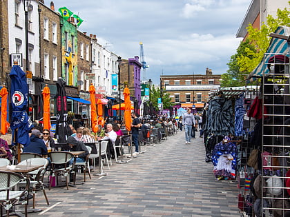
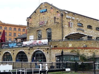
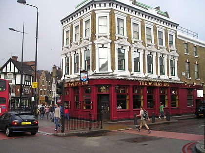
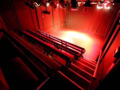
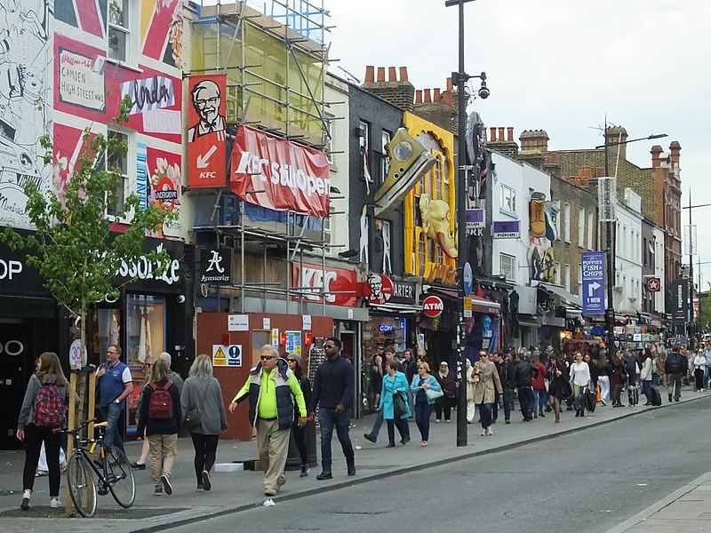
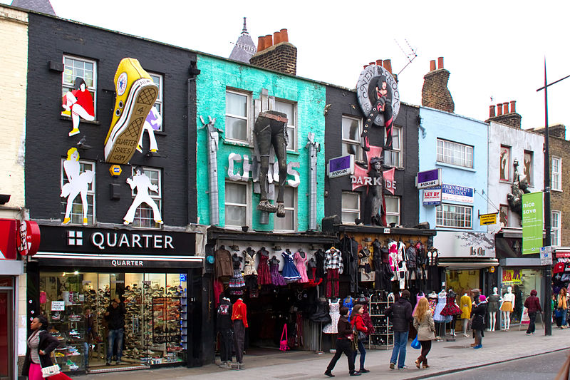
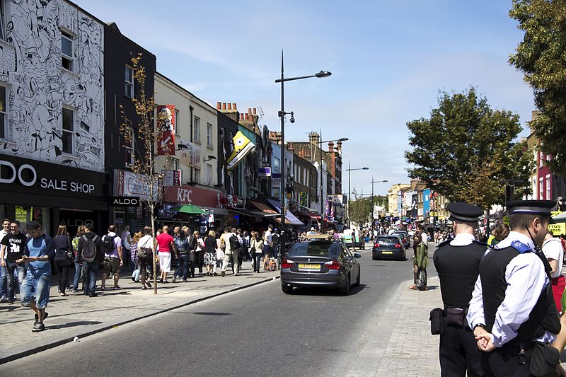
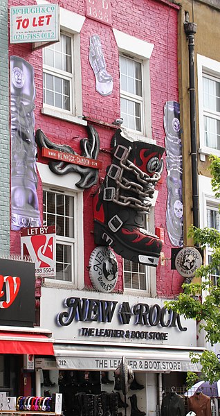
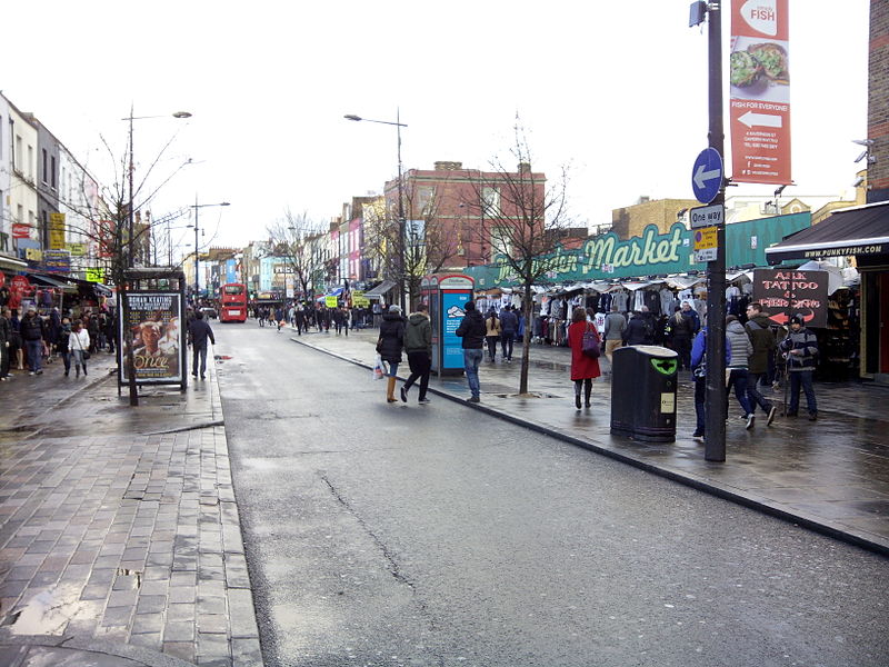
Camden High Street is a short stretch of road in Camden Town, in north-northwest London. It is part of the route from central London to Hampstead. It is the local high street and features major music venues at either end. ()
Coordinates: 51°32'11"N, 0°8'26"W
Address
Camden High StCamden (Regent's Park)London NW1
ContactAdd
Social media
Add
Day trips
Camden High Street – popular in the area (distance from the attraction)
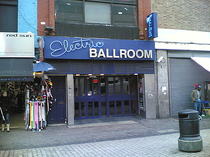
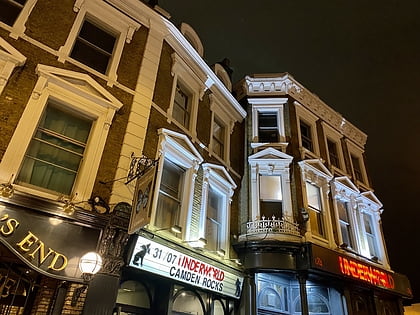
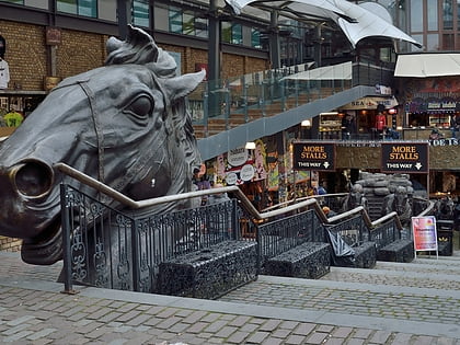
Nearby attractions include: Chalk Farm Road, Electric Ballroom, The Underworld, Camden Market.
Frequently Asked Questions (FAQ)
Which popular attractions are close to Camden High Street?
Nearby attractions include Plender Street Market, London (2 min walk), The Camden Head, London (2 min walk), Church of Our Lady of Hal, London (5 min walk), Jewish Museum London, London (5 min walk).
How to get to Camden High Street by public transport?
The nearest stations to Camden High Street:
Bus
Metro
Train
Bus
- Camden High Street • Lines: 134, 168, 214, 24, 253, 27, 29, N20, N253, N27, N279, N28, N29, N31, N5 (1 min walk)
- Arlington Road • Lines: 274, 88 (3 min walk)
Metro
- Mornington Crescent • Lines: Northern (5 min walk)
- Camden Town • Lines: Northern (6 min walk)
Train
- Camden Road (10 min walk)
- London Euston (16 min walk)



 Tube
Tube
