Camden Town, London
Map
Gallery
Facts and practical information
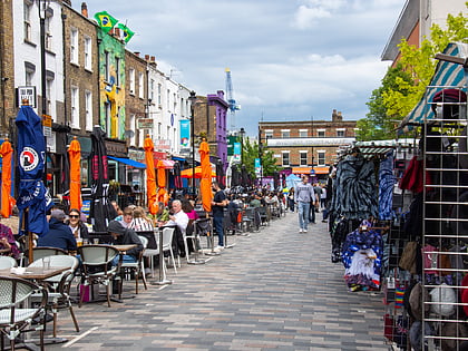
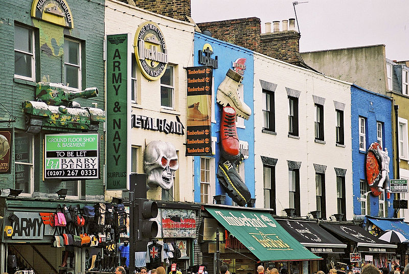
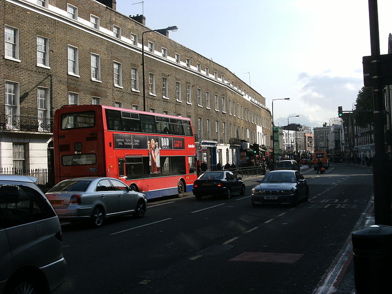
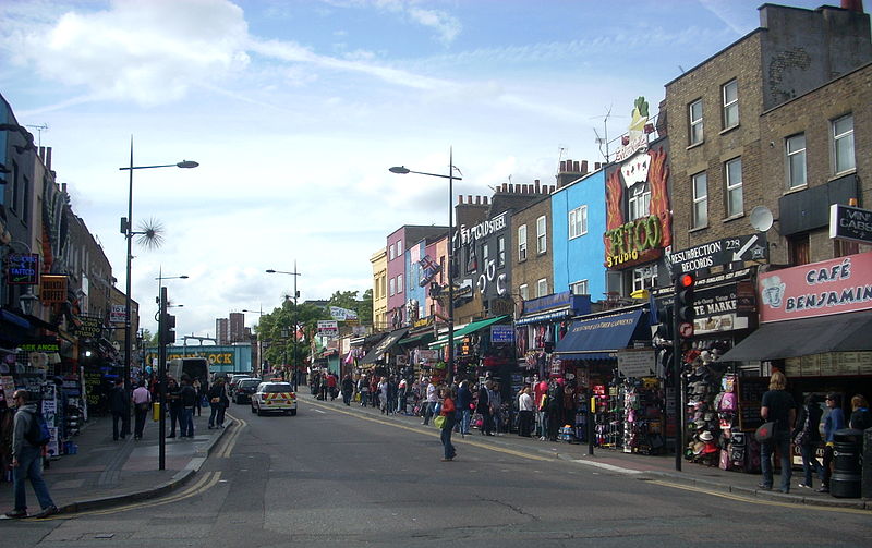
Camden Town, often shortened to Camden, is a district of northwest London, England, 2.5 miles north of Charing Cross. Historically in Middlesex, it is the administrative centre of the London Borough of Camden, and identified in the London Plan as one of 34 major centres in Greater London. ()
Address
Camden (Camden Town)London
ContactAdd
Social media
Add
Day trips
Camden Town – popular in the area (distance from the attraction)
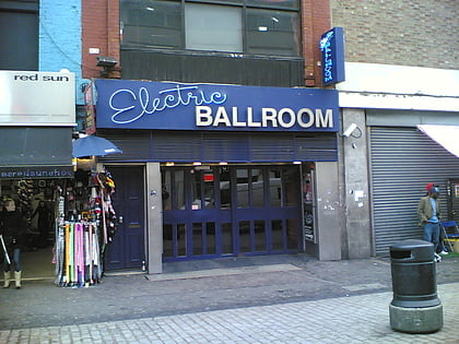
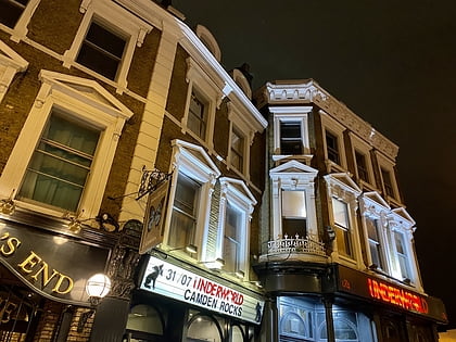
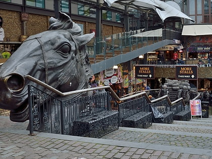
Nearby attractions include: Chalk Farm Road, Electric Ballroom, Camden High Street, The Underworld.
Frequently Asked Questions (FAQ)
Which popular attractions are close to Camden Town?
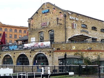
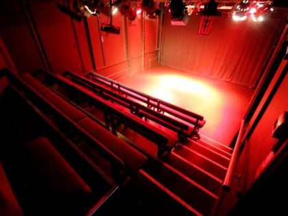
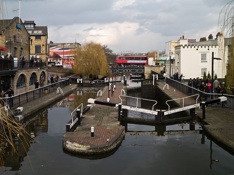
Nearby attractions include Hawley Lock, London (2 min walk), Etcetera Theatre, London (2 min walk), Camden Lock, London (3 min walk), Inverness Street Market, London (3 min walk).
How to get to Camden Town by public transport?
The nearest stations to Camden Town:
Bus
Metro
Train
Bus
- Kentish Town Road • Lines: 134, 214, 88, N20 (3 min walk)
- Hawley Road • Lines: 134, 168, 214, 24, 27, 31, 88, N20, N27, N28, N31, N5 (3 min walk)
Metro
- Camden Town • Lines: Northern (3 min walk)
- Chalk Farm • Lines: Northern (13 min walk)
Train
- Camden Road (5 min walk)
- Kentish Town West (12 min walk)


 Tube
Tube
