Scurdie Ness
Map

Map

Facts and practical information
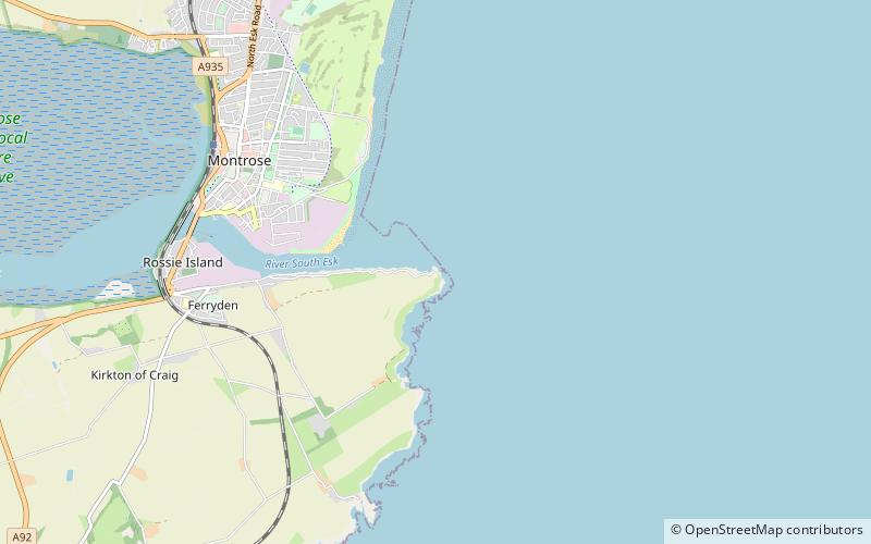
Scurdie Ness is a headland located on the South side of the River South Esk estuary, Montrose, Angus, Scotland. The River leads from the North Sea into Montrose Harbour and then into Montrose Basin. The headland has also been referred to as Scurdy Ness, Montrose point or Montroseness. The word Scurdie is a local word for the volcanic rock found there and Ness means a promontory, cape or headland. The coastline from Scurdie Ness to Rickle Craig has been designated a Site of Special Scientific Interest. ()
Coordinates: 56°42'6"N, 2°26'14"W
Location
Scotland
ContactAdd
Social media
Add
Day trips
Scurdie Ness – popular in the area (distance from the attraction)
Nearby attractions include: Montrose Museum, Montrose Library, Montrose Old and St Andrew's Church, Links Park.


