The Calf, Yorkshire Dales National Park
Map

Map

Facts and practical information
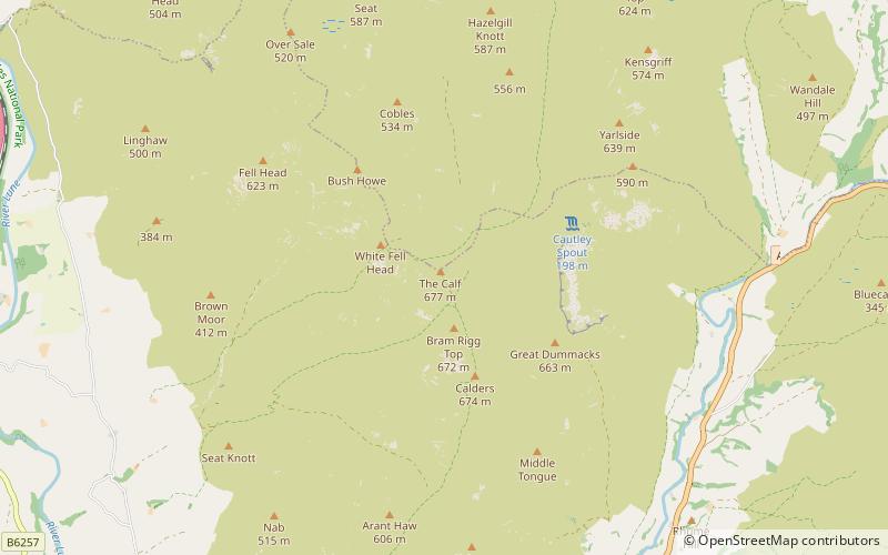
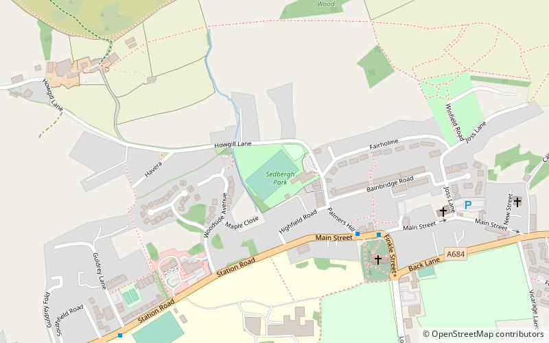
The Calf, at 676 m, is the highest top in the Howgill Fells, an area of high ground in the north-west of the Yorkshire Dales in the county of Cumbria. It can be ascended from the town of Sedbergh to the south, by way of Cautley Spout from the east, or up the long valley of Langdale from the north. The Sedbergh ascent is the most popular, and has the distinction of being on good paths all the way. ()
Elevation: 2218 ftProminence: 1257 ftCoordinates: 54°22'3"N, 2°30'47"W
Address
Yorkshire Dales National Park
ContactAdd
Social media
Add
Day trips
The Calf – popular in the area (distance from the attraction)
Nearby attractions include: Garsdale, Sedbergh People's Hall, St Oswald's Church, St Andrew's Church.
Frequently Asked Questions (FAQ)
Which popular attractions are close to The Calf?
Nearby attractions include Calders, Yorkshire Dales National Park (16 min walk), Cautley Spout, Sedbergh (21 min walk).


