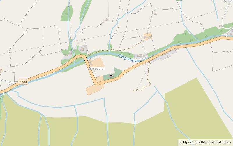
Garsdale, Yorkshire Dales

Gallery (2)
Map
Map
Gallery
Facts and practical information
Garsdale is a dale or valley in the south east of Cumbria, England, historically a part of the West Riding of Yorkshire. It is now within the South Lakeland local government district, but is still a "Yorkshire Dale" for planning purposes. In the 2001 census the parish had a population of 202, decreasing at the 2011 census to 191. ()
Address
Yorkshire Dales
ContactAdd
Social media
Add
Day trips


