Liberty Way, Nuneaton

Gallery (1)
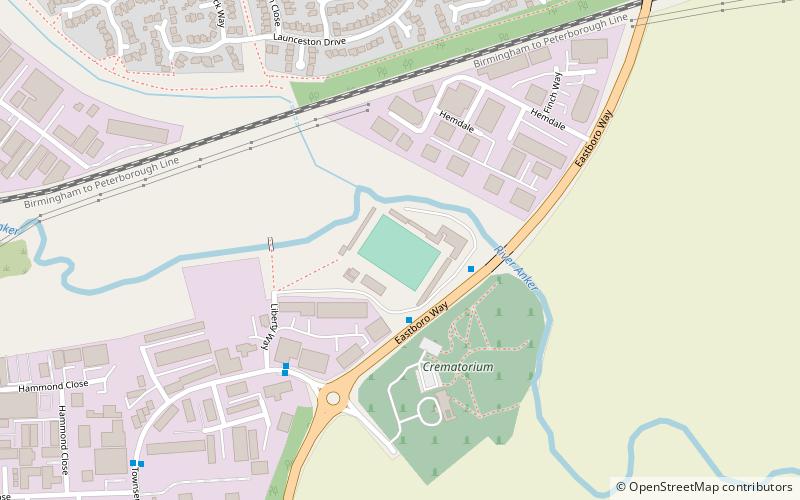
Map
Map
Facts and practical information
Liberty Way is a multi-use sports stadium in Nuneaton, Warwickshire, England, which is owned by Nuneaton Town F.C. but is also used by Nuneaton R.F.C. which rents the stadium from the football club. Liberty Way has been used by the rugby club since the 1990s; however, it was a mere pitch with a perimeter fence and nothing like the facilities of the current complex. The current stadium is made up of 4 stands. ()
Coordinates: 52°31'15"N, 1°26'33"W
Address
Nuneaton
ContactAdd
Social media
Add
Getting there by public transportation
Public transportation stops near this location
- Bus
- Train
 Bus
Bus
- Calculate routeMill Street 24 min walk
- Calculate routeRiversley Road 27 min walk
- Calculate routeNuneaton Bus Station 27 min walk
- Calculate routeC3 27 min walk
- Calculate routeNuneaton 26 min walk
Day trips


Frequently Asked Questions (FAQ)
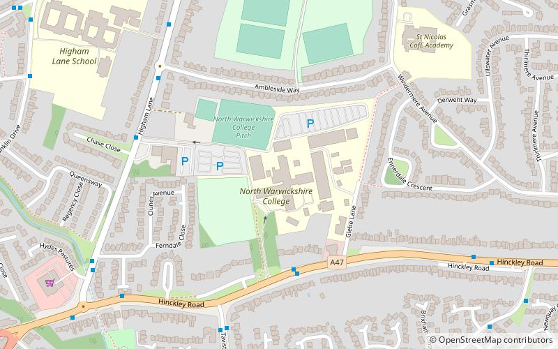
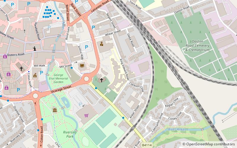
Which popular attractions are close to Liberty Way?
Nearby attractions include North Warwickshire and Hinckley College, Nuneaton (19 min walk), King Edward VI College, Nuneaton (21 min walk), St Nicolas Church, Nuneaton (22 min walk).
How to get to Liberty Way by public transport?
The nearest stations to Liberty Way:
Bus
Train
Bus
- Mill Street • Lines: 20, 78, 78A (24 min walk)
- Riversley Road • Lines: 20, 78, 78A (27 min walk)
Train
- Nuneaton (26 min walk)