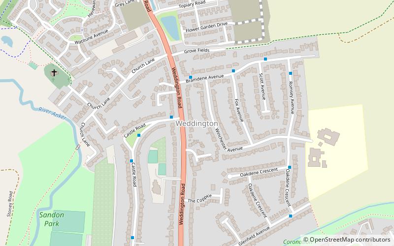
Weddington, Nuneaton
Map
Facts and practical information
Weddington is an area of Nuneaton and former civil parish in Warwickshire, England, bounded on the northeast by Watling Street, and on the west by the River Anker. The Ward population taken at the 2011 census was 7,256. ()
Coordinates: 52°32'15"N, 1°27'54"W
Address
Nuneaton
ContactAdd
Social media
Add
Getting there by public transportation
Public transportation stops near this location
- Bus
- Train
 Bus
Bus
- Calculate routeNuneaton 19 min walk
- Calculate routeFire Station 23 min walk
- Calculate routeC3 23 min walk
- Calculate routeNuneaton Bus Station 23 min walk
- Calculate routeGala Bingo 24 min walk
Day trips


Frequently Asked Questions (FAQ)
How to get to Weddington by public transport?
The nearest stations to Weddington:
Train
Bus
Train
- Nuneaton (19 min walk)
Bus
- Fire Station • Lines: 20 (23 min walk)
- C3 • Lines: 20 (23 min walk)