Plessey Woods Country Park, Bedlington

Gallery (1)
Map
Map
Facts and practical information
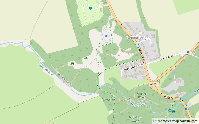
Plessey Woods is a country park situated on the north bank of the River Blyth, in Northumberland. The park is accessed from the A192 in the village of Hartford Bridge, north of Cramlington and south west of Bedlington. ()
Elevation: 144 ft a.s.l.Coordinates: 55°6'56"N, 1°37'41"W
Address
Visitors Centre Shields RoadBedlington NE22 6AN
Contact
+44 1670 824793
Social media
Add
Day trips