Tegg's Nose
Map
Gallery
Facts and practical information
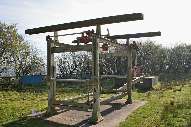
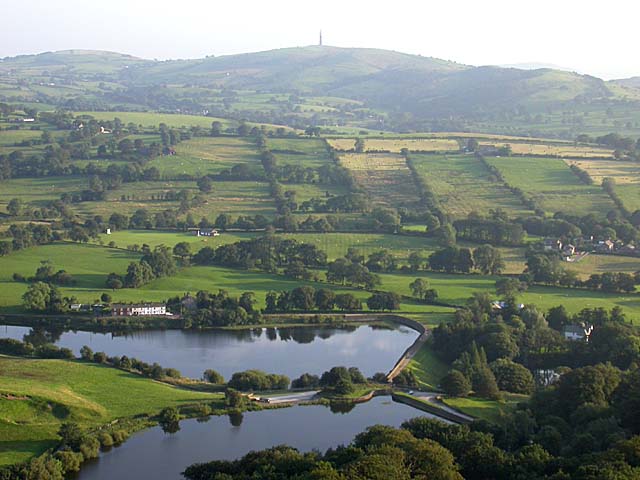
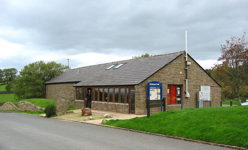
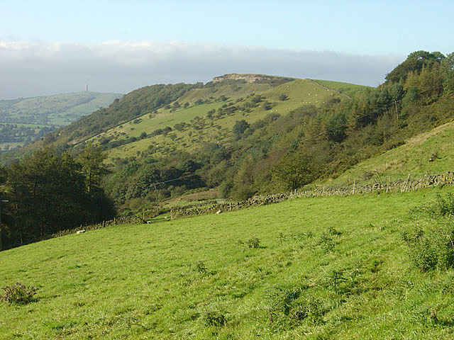
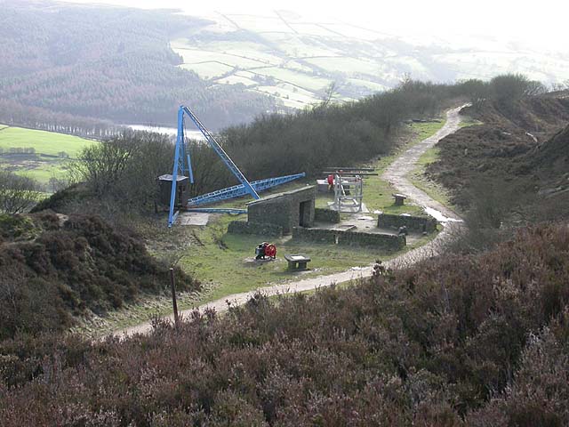
Tegg's Nose is a hill east of Macclesfield in Cheshire, England. It has a short ridge with a high point of 380 metres at SJ947725, terminating in a promontory at the southern end. It lies on the western edge of the Peak District, although outside the boundary of the national park. Much of the hill's area falls within the Tegg's Nose Country Park, managed by Cheshire East Council Countryside Management Service; Tegg's Nose is also part of the Environmentally Sensitive Area Scheme. ()
Elevation: 1247 ftCoordinates: 53°14'56"N, 2°4'49"W
Location
England
ContactAdd
Social media
Add
Day trips
Tegg's Nose – popular in the area (distance from the attraction)
Nearby attractions include: Middlewood Way, Macclesfield Town Hall, Macclesfield Sunday School, St Michael's Church.


