Wilderhope Manor

Gallery (1)
Map
Map
Facts and practical information
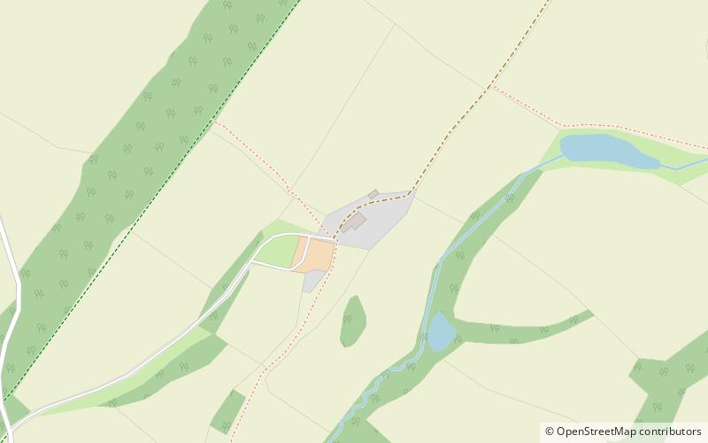
Wilderhope Manor is a 16th-century manor house in the care of the National Trust. It is located on Wenlock Edge 7 miles south west of Much Wenlock in Shropshire, England. The manor is a Grade I listed building and since 1937 has been used as a youth hostel. ()
Built: XVI centuryCoordinates: 52°31'55"N, 2°40'19"W
Day trips


